What is recorded here
This was listed in the SMR (1987) as a ‘megalithic structure possible’. The source of this classification is a feature named ‘Stone’ on the first edition of the OS 6-inch map (1839). The name is not represented in the Gothic-style font used at that time to denote antiquities. This ‘Stone’ was not recorded on any subsequent OS map and no visible trace of this ‘Stone’ survived when the site was inspected in 1989. While the classification assigned to this record in the SMR (1987) could be taken to infer that this formed part of a possible ‘megalithic structure’ and the connotations that this implies, the evidence is not sufficient to warrant accepting it as such. The name ‘Stone’ suggests a single upright and this may be a standing stone (see KK038-008----) though this does not necessarily indicate that it is of any great antiquity.
Compiled by: Paul Walsh
Date of upload: 19 April 2023
This remains an important historical record, but the official description says the monument is no longer visible or has been destroyed. The monument record does not grant public access. Check the route and ask the landowner before entering private land.
- What survives
- No visible remains or recorded as destroyed
Places near here
 Mullenbeg Ringfort (rath)Archaeological place · 306 yd
 Enclosure in MullenbegEnclosure · 378 yd
 Old Court (Site of)Castle, unclassified · 1.5 mi
 CastleCastle, motte · 1.7 mi
 Church in Oldcourt (iverk By.),templeorumChurch · 2.1 mi
 Mountain GroveForest · 2.5 mi
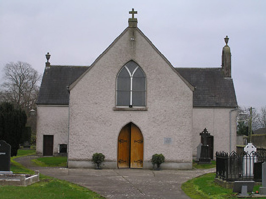 Catholic Church of the Assumptionchurch/chapel · 2.6 mi
 European YewEuropean Yew · 2.6 mi
 Castlemorris Pheasant LoopWalking route · 3.3 mi
 Carrickshock MemorialMonument · 3.5 mi
 Thomas PhelanMemorial · 3.6 mi
 St. John's WellSpring · 4.2 mi