What is recorded here
No amount of digging brings back the lost stone. The earth in Magherashanvally has swallowed it, leaving only a dip in the marsh where it once stood. What remains is the shape of its absence, a hollow marker in the ground that points to something forgotten rather than something seen.
There is no trace of the 'Standing Stone' marked on the 1st edition of the OS 6-inch map. Situated in marshy land at the bottom of the SE slope of Carnowen Hill.
The above description was derived from the 'Archaeological Survey of County Donegal. A description of the field antiquities of the County from the Mesolithic Period to the 17th century.' Compiled by: Brian Lacey with Eamon Cody, Claire Cotter, Judy Cuppage, Noel Dunne, Vincent Hurley, Celie O'Rahilly, Paul Walsh and Seán Ó Nualláin (Lifford: Donegal County Council, 1983). In certain instances the entries have been revised and updated.
Date of upload: 22 September 2008
This remains an important historical record, but the official description says the monument is no longer visible or has been destroyed. The monument record does not grant public access. Check the route and ask the landowner before entering private land.
- What survives
- No visible remains or recorded as destroyed
Places near here
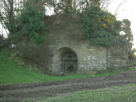 kilnkiln · 1146 yd
 Carnowen HillMountain / peak · 1504 yd
 outbuildingoutbuilding · 1741 yd
 Dooghan / Carnowen Standing StoneStanding stone · 1.0 mi
 Enclosure in CottownEnclosure · 1.1 mi
 OutlinedBawn · 1.5 mi
 CastleCastle, unclassified · 1.7 mi
 Croaghan HillMountain / peak · 2.1 mi
 BATTLE SITE: in 789 AD & BATTLE OF THE FORDS , Southern crossing, 1689 in Clady; DonnygowanBATTLE SITE: in 789 AD & BATTLE OF THE FORDS , Southern crossing, 1689 · 2.8 mi
 BATTLE SITE: BATTLE OF THE FORDS, Central crossing, 1689 in Magirr; Town Parks OF StrabaneBATTLE SITE: BATTLE OF THE FORDS, Central crossing, 1689 · 4.3 mi
 Feddyglass WoodWood · 4.5 mi
 Gray PrinterHeritage attraction · 5.0 mi