What is recorded here
No standing stone is visible today in Magheramenagh, County Donegal. It may have fallen, been buried or never existed at all. The lost marker could be under grass, soil or forgetting. What remains is a gap where a stone should stand.
There is no trace of the 'Standing Stone' marked on the 2nd and 3rd editions of the OS 6-inch map. Situated on a slight rise in undulating pasture land.
The above description was derived from the 'Archaeological Survey of County Donegal. A description of the field antiquities of the County from the Mesolithic Period to the 17th century.' Compiled by: Brian Lacey with Eamon Cody, Claire Cotter, Judy Cuppage, Noel Dunne, Vincent Hurley, Celie O'Rahilly, Paul Walsh and Seán Ó Nualláin (Lifford: Donegal County Council, 1983). In certain instances the entries have been revised and updated.
Date of upload: 22 September 2008
This remains an important historical record, but the official description says the monument is no longer visible or has been destroyed. The monument record does not grant public access. Check the route and ask the landowner before entering private land.
- What survives
- No visible remains or recorded as destroyed
Places near here
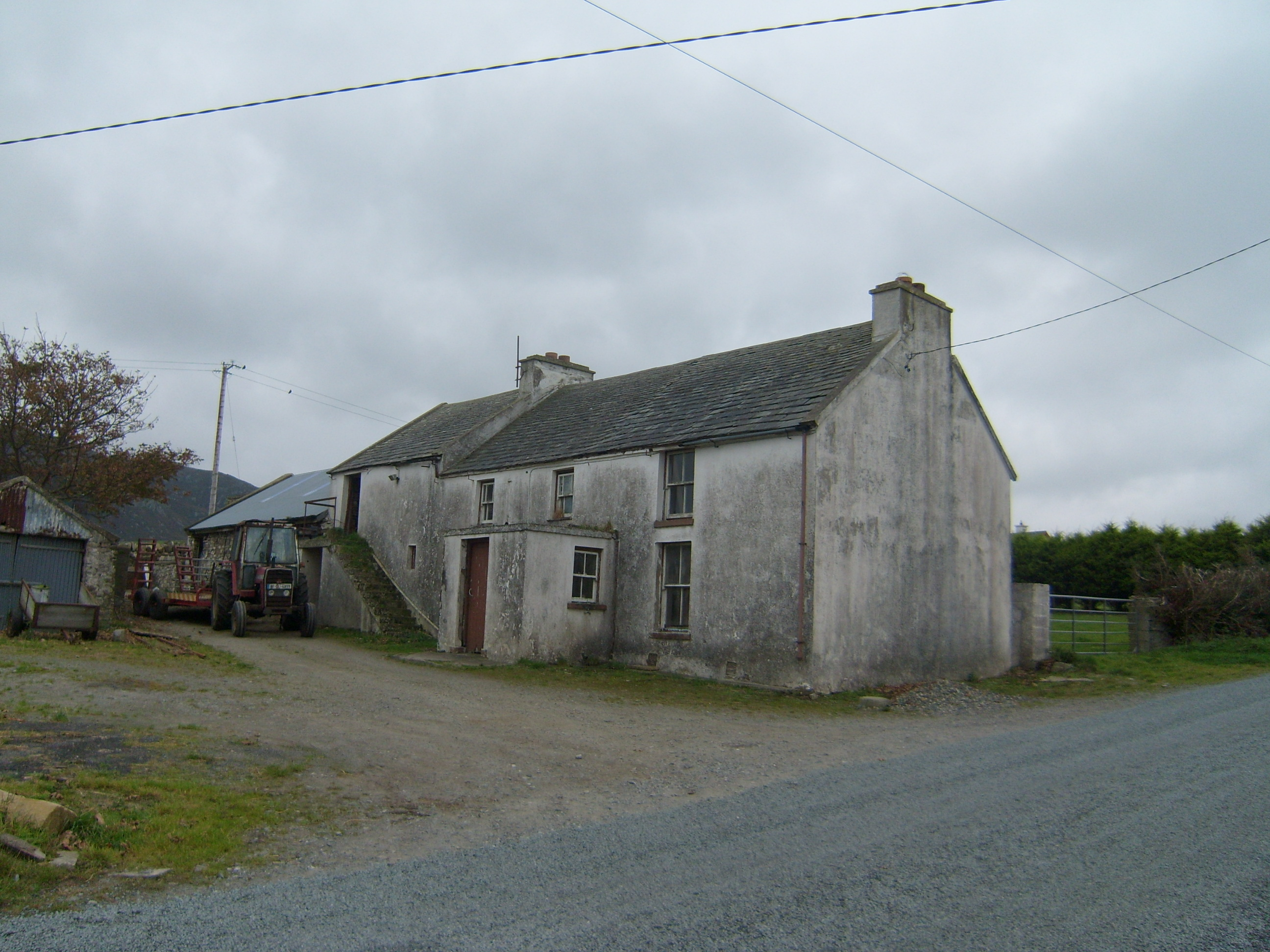 farm housefarm house · 296 yd
 Greenhill CashelFairy fort / stone ringfort · 651 yd
 Former Greenhill FortEnclosure · 925 yd
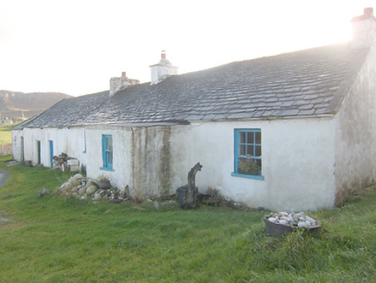 The Rockhouse · 1221 yd
 Boys IslandIslet · 1512 yd
 Local Wildlife presentationVisitor information · 1.3 mi
 Tramore StrandBeach / strand · 1.8 mi
 Kill Old Church GraveyardGraveyard · 2.1 mi
 Castle (Site of)Castle, unclassified · 2.3 mi
 Mc Swyne's GunHeritage attraction · 2.5 mi
 Cliffs near Pollaguill BayPublicly named cliff or headland · 2.5 mi
 Mc Swynes CastleCastle, unclassified · 2.8 mi