What is recorded here
O’Kelly found a rough limestone slab in 1944, but the standing stone has vanished from later satellite images. It likely stood beside the Carriggalla Forts and nearby circles, marking a ridge path now erased by time or pasture work. The loss transforms the site into a ghost, reminding us that even ancient stones can disappear when human attention withdraws.
In rocky pasture on the brow of a ridge extending S from Knocksentry Hill with views to the S. The Carriggalla Forts (LI032-053002-/003-) are 450m to SW; Circle O (LI032-060----) is located 240m to NW and Circle P (LI032-059----) lies 210m to NW.
Not depicted on the historic OSi maps as an antiquity. It is not visible on OSi orthoimage taken 2005-12 or on Digital Globe orthoimages taken 2011-2013. The standing stone is one of five identified by O’Kelly (1944, 29) that appear to be ancient. He described the stone as ‘390’ OD [119m] a rough limestone slab 3’ 4” [1.02m] high and 3' [0.91m] by 1' 3" [0.38m] at the base. It is well weathered’. Grogan (1989, Vol. 2, 271) attached the site name of ‘Lough Gur 8’ to the monument within his PhD thesis. The location of the site is visible on Google Earth orthoimages taken 28/06/2018 and 20/09/2020. The standing stone does not appear to survive above ground level. Future fieldwork should attempt to locate the site.
See attached Google Earth orthoimages
Compiled by: Edmond O’Donovan
Date of upload: 19 November 2020
See attached ASI aerial photograph ASIAP – 349/7 taken 05/01/2003.
The monument record does not grant public access. Check the route and ask the landowner before entering private land.
- What survives
- Recorded monument
Places near here
 Lough Gur OArchaeological place · 309 yd
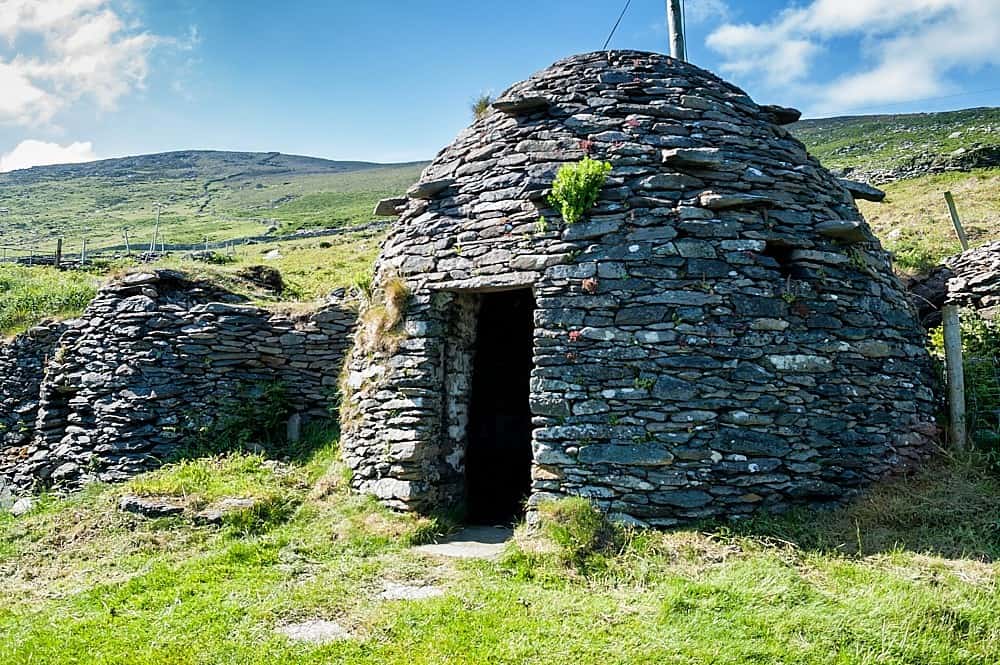 Hut site in LoughgurHut site · 404 yd
 Knockbologue Househouse · 719 yd
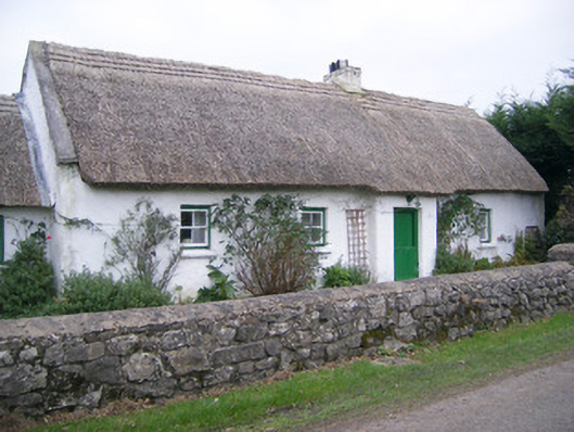 Maura's Cottagehouse · 783 yd
 Lough Gur Heritage CentreVisitor information · 1018 yd
 Pedunculate OakPedunculate Oak · 1045 yd
 The SpectaclesVisitor information · 1132 yd
 Black Castle (in ruins)Castle, tower house · 1325 yd
 OultinedBawn · 1.0 mi
 Grange Stone CircleArchaeological place · 1.5 mi
 Lough GurVisitor information · 1.5 mi
 Glen BogForest · 2.0 mi