What is recorded here
Standing stone which tapers towards the top with packing stones around the base is located in upland area close to farmhouse. Monument is annotated as 'Stone' on the first edition of the OS six-inch map. The stone is not depicted on subsequent editions of the OS 6-inch maps.
Uploaded images and information on monument supplied courtesy of Derek Ryan.
Compiled by: Caimin O'Brien
Date of upload: 25 August 2015
Likely dating to the Bronze Age, this standing stone may have served a ritual or commemorative function. Its placement in an upland area suggests a possible link to territorial markers or ceremonial landscapes, though specific folklore or use remains unrecorded.
The monument record does not grant public access. Check the route and ask the landowner before entering private land.
- What survives
- Recorded monument
Places near here
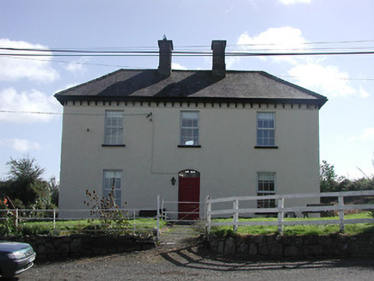 Dower HouseRIC barracks · 609 yd
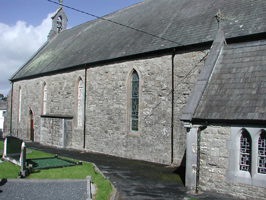 Catholic Church of the Blessed Virgin Marychurch/chapel · 750 yd
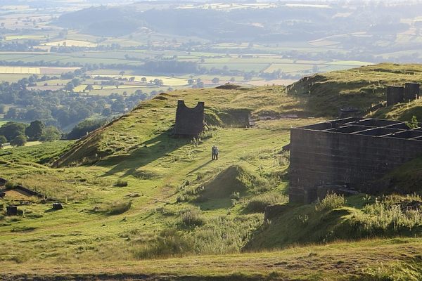 Enclosure in LisheenbrienEnclosure · 765 yd
 Enclosure in Curragh (castletownarra Par.)Enclosure · 936 yd
 Castle in ruinsCastle, unclassified · 1.4 mi
 Giant's GraveArchaeological place · 1.5 mi
 IndicatedCastle, unclassified · 1.5 mi
 Saint Patrick's RockNamed rock · 1.7 mi
 Corbally HillMountain / peak · 1.7 mi
 Millenium CrossHeritage attraction · 1.7 mi
 CopperminesCave · 1.7 mi
 Mass RockNamed rock · 1.8 mi