What is recorded here
Linford still holds a standing stone from the deep past, marked as a scheduled ancient site though its exact age remains uncertain. The stone may have witnessed seasons, storms, and forgotten human lives long before written records reached County Antrim. Its persistence turns an ordinary field into a place where time appears broken open, inviting wonder rather than explanation.
The official Northern Ireland record identifies this as STANDING STONE. Recorded period: PREHISTORIC; UNCERTAIN. Recorded protection: Scheduled. The official map point was placed at the centre of the recorded archaeological site from the source map reference.
Likely dating to the Neolithic or Bronze Age, this standing stone may have served a ceremonial, astronomical, or territorial function. No specific folklore or detailed use is recorded for this site.
The monument record does not grant public access. Check the route and ask the landowner before entering private land.
- What survives
- Recorded monument
Places near here
 ENCLOSURE in LinfordENCLOSURE · 856 yd
 BallycoosMountain / peak · 1003 yd
 Enclosures and Hut Circles in BallycoosEnclosures and Hut Circles · 1112 yd
 Craigy HillMountain / peak · 1474 yd
 Ballygally CastleHeritage attraction · 2.6 mi
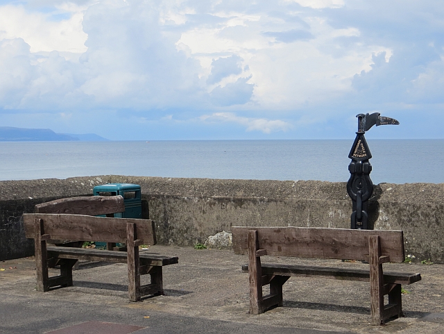 Millennium MilepostVisitor information · 2.7 mi
 CairncastleRuins · 3.2 mi
 Garden TrailWalking route · 3.2 mi
 Ballygalley HeadCliff · 3.3 mi
 Glenarm ForestForest · 3.7 mi
 Hillmount HouseCastle · 3.9 mi
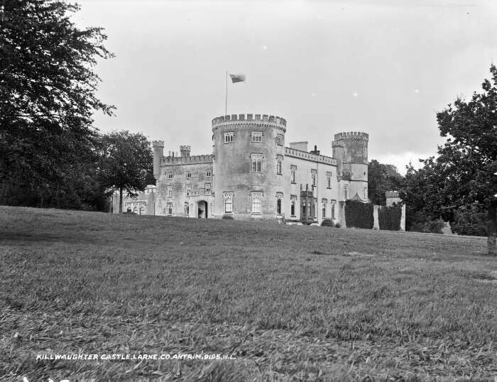 TOWER-HOUSE & BAWN: KILWAUGHTER CASTLE in DemesneTOWER-HOUSE & BAWN: KILWAUGHTER CASTLE · 4.1 mi