What is recorded here
Situated on the shoulder of a hill in grassland with extensive views towards Lough Owel to the SE. Ring barrow (WM011-026---) and standing stone (WM011-026001--) 50m to N. Standing stone (WM011-025---) 200m to NNW. Church (WM011-028----) and graveyard (WM011-028001-) 125m to SSE. Portion of a broken standing stone (H 1m; Wth 0.4m; T 0.1m) consisting of a tall thin slab leaning over to one side which is set into a shallow depression in the ground.
Compiled by: Frank Coyne and Caimin O'Brien
Date of upload: 15 June 2017
Probably dates to the Neolithic or Bronze Age, given its proximity to a ring barrow, suggesting a funerary or ritual landscape. Standing stones in such settings may have marked territorial boundaries, aligned with celestial events, or served as memorials. Local folklore is not recorded.
The monument record does not grant public access. Check the route and ask the landowner before entering private land.
- What survives
- Recorded monument
Places near here
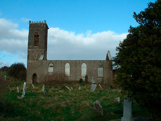 Bunbrosna Church (Leny)church/chapel · 153 yd
 Ecclesiastical enclosure in LenyEcclesiastical enclosure · 177 yd
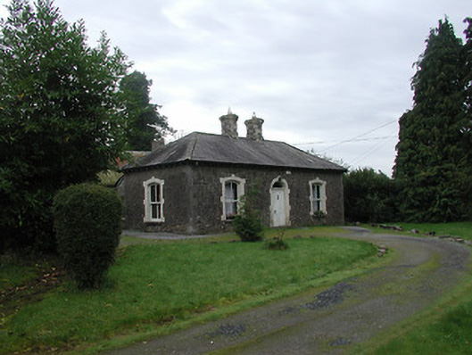 Farra Cottagehouse · 458 yd
 Partially hachuredFairy fort / earthen ringfort · 1071 yd
 Carrick CastleCastle · 1246 yd
 Castle Quarter, Castle (in ruins)Castle, unclassified · 1590 yd
 Bridge Memorial (Kenna)Memorial · 2.1 mi
 Baronstown ForestWood · 3.2 mi
 Horse-chestnutHorse-chestnut · 3.3 mi
 Carrickphilbin IslandIslet · 3.4 mi
 Srudarra IslandIslet · 4.0 mi
 Rock of CurryCliff · 9.4 mi