What is recorded here
In the verge of the N15, located in an area of undulating pasture, at the base, on the E side, of a small ridge, known as Laheen Hill, on top of which there is a rath (DG103-061----). Not shown on the 1836 OS 6-inch map, but indicated as 'Standing stone' on the 1907 edition. A standing stone, almost square in plan, and 1.25m high × 1.4m wide; NNE-SSW. In 1964 a Bronze Age burial (DG103-064----) was found close by, and in 1966 a cist (DG103-065----), possibly also of Bronze Age date, was found c. 180 to S.
The above description was derived from the 'Archaeological Survey of County Donegal. A description of the field antiquities of the County from the Mesolithic Period to the 17th century.' Compiled by: Brian Lacey with Eamon Cody, Claire Cotter, Judy Cuppage, Noel Dunne, Vincent Hurley, Celie O'Rahilly, Paul Walsh and Seán Ó Nualláin (Lifford: Donegal County Council, 1983). In certain instances the entries have been revised and updated.
Date of revised upload: 6 December 2017
Likely dating to the Bronze Age, the standing stone may have had ritual or territorial significance, possibly linked to the nearby rath on Laheen Hill. Local folklore or specific use is not recorded.
The monument record does not grant public access. Check the route and ask the landowner before entering private land.
- What survives
- Recorded monument
Places near here
 Laheen Fairy FortFairy fort / earthen ringfort · 239 yd
 HawthornHawthorn · 310 yd
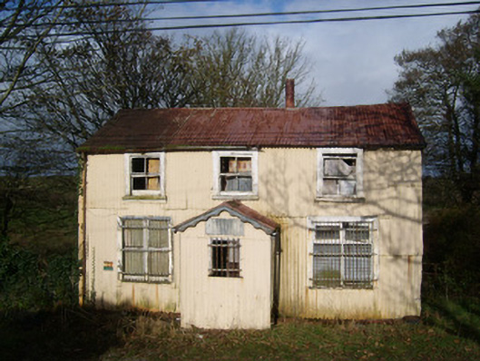 Cashelard Post Officepost office, house · 630 yd
 Laheen Limestone-Terrace EnclosureEnclosure · 1063 yd
 bridgebridge · 1.0 mi
 Castle (Site of)Castle, unclassified · 2.3 mi
 Castle in ruinsCastle, unclassified · 2.9 mi
 St Anne's Church GraveyardGraveyard · 3.1 mi
 RossnowlaghOfficial bathing water · 3.3 mi
 Kilbarron Old Church GraveyardGraveyard · 3.7 mi
 Dark Cliffs at KilbarronPublicly named cliff or headland · 4.3 mi
 Wardtown StrandBeach / strand · 4.5 mi