What is recorded here
Standing stone described in 1987 by the 'Castleisland District Archaeological Survey' as a 'large blocklike sandstone [dims. 2.2m x 0.65m x 0.65m] is [now] lying horizontally forming the upper portion of a field fence. The landowner recalled the standing stone standing upright 20-30 feet [6 - 9m] to the south of its present location' (SMR File).
Compiled by: Caimin O'Brien
Date of upload: 27 April 2022
Likely dating to the Late Neolithic or Bronze Age, this standing stone may have originally marked a territorial boundary or served a ritual function before being repurposed as part of a field fence. No specific folklore or detailed local tradition is recorded for the site.
The monument record does not grant public access. Check the route and ask the landowner before entering private land.
- What survives
- Recorded monument
Places near here
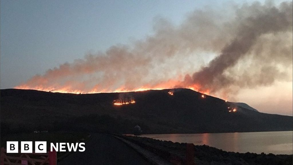 Burnt spread in Gneeves (trughanacmy By.)Burnt spread · 1.4 mi
 KnockateeMountain / peak · 2.3 mi
 Mount EagleMountain / peak · 2.9 mi
 Dotted outline, GlebeEcclesiastical enclosure · 3.0 mi
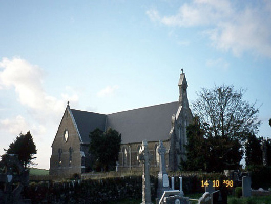 Saint Carthage's Catholic Churchchurch/chapel · 3.0 mi
 Mountcollins Bridgebridge · 4.1 mi
 Three CountiesPicnic place · 4.2 mi
 Kilmurry CastleCastle · 4.4 mi
 Castle (in ruins)Castle, unclassified · 4.4 mi
 Crag CaveCave · 6.0 mi
 Barna BogForest · 8.9 mi
 Kilflynn Nature ReserveNature reserve · 14 mi