What is recorded here
Burnt spread described in 1987 by the 'Castleisland District Archaeological Survey' as 'burnt black earth and burnt red stone' which had been discovered during the digging of a dyke. The material is still clearly visible in the eastern side of the drain' (SMR File).
Compiled by: Caimin O'Brien
Date of upload: 27 April 2022
The monument record does not grant public access. Check the route and ask the landowner before entering private land.
- What survives
- Recorded monument
Places near here
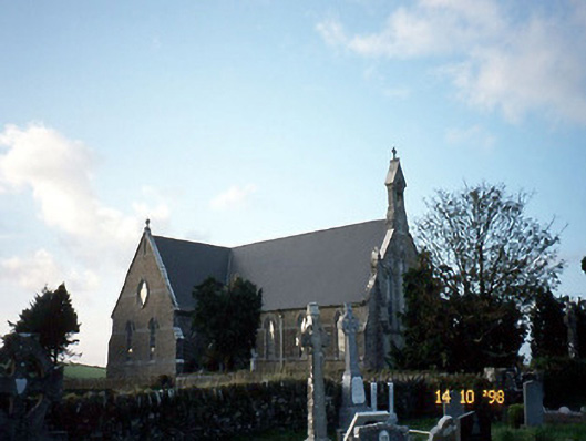 Saint Carthage's Catholic Churchchurch/chapel · 1.9 mi
 Dotted outline, GlebeEcclesiastical enclosure · 1.9 mi
 (Site of) ChurchChurch · 1.9 mi
 Mountcollins Bridgebridge · 3.1 mi
 KnockateeMountain / peak · 3.6 mi
 Three CountiesPicnic place · 3.8 mi
 Mount EagleMountain / peak · 4.3 mi
 Kilmurry CastleCastle · 5.6 mi
 Castle (in ruins)Castle, unclassified · 5.6 mi
 Crag CaveCave · 6.8 mi
 Saint Ite's WellSpring · 11 mi
 Kilflynn Nature ReserveNature reserve · 14 mi
Other information
Photo: Credit not shown in the picture search · Rights wording not checked; contact us if this picture should be removed