
What is recorded here
Probable early medieval ecclesiastical enclosure (diam. c. 160m) of the church of 'Kaiterbristelan' [Caher Breslayn] depicted as the boundary of Glebe land on 1st ed. OSi 6-inch map. This enclosure may have been the 'Caher' element of the church name listed in the 1302 papal taxation of the Diocese of Ardfert (Cal. doc. Ire.; King 1986). Enclosure described by O'Hare (2000) as follows; 'The outline of a large, roughly circular enclosure (diam. approx. 155m), comprising Glebe land, is clearly depicted on OSi first edition, lying immediately to the south of Brosna village.'
See attached plan of enclosure, surveyed and drawn by the Castleisland District Archaeological Survey and Google Earth orthoimage taken 29/03/2019.
Compiled by: Caimin O'Brien.
Date of upload: 15 April 2022
The monument record does not grant public access. Check the route and ask the landowner before entering private land.
- What survives
- Recorded monument
Places near here
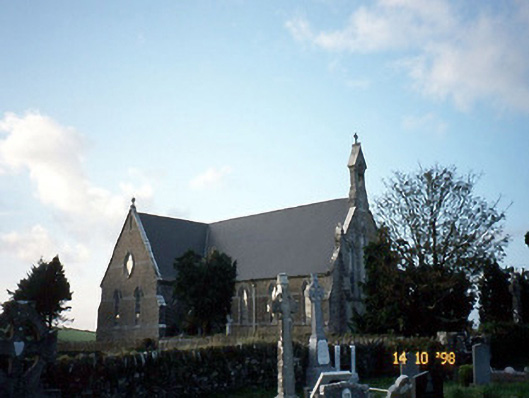 Saint Carthage's Catholic Churchchurch/chapel · 22 yd
 (Site of) ChurchChurch · 71 yd
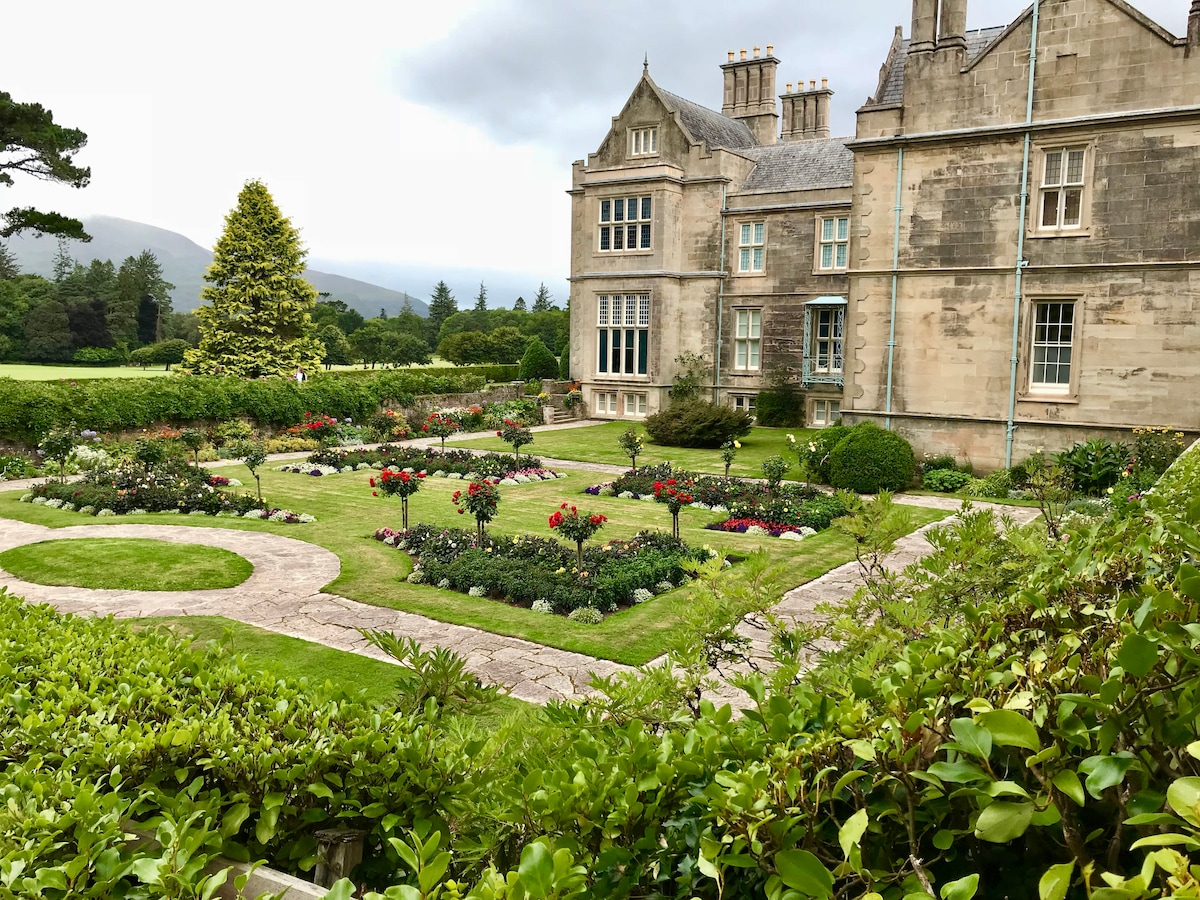 Enclosure in Brosna WestEnclosure · 1069 yd
 Mountcollins Bridgebridge · 1.3 mi
 Three CountiesPicnic place · 2.3 mi
 KnockateeMountain / peak · 5.2 mi
 Barnagh HillMountain / peak · 6.0 mi
 Purt CastleCastle · 6.4 mi
 Ballyplimoth CastleCastle · 8.2 mi
 Crag CaveCave · 8.7 mi
 John B. KeaneMemorial · 13 mi
 Holocaust MemorialMemorial · 13 mi
Other information
Photo: Credit not shown in the picture search · Rights wording not checked; contact us if this picture should be removed