What is recorded here
In pasture on the N facing slope of Knockfennell Hill 600m N of Lough Gur and on the N edge of a dense concentration of prehistoric monuments. Enclosure (LI032-183----) 305m to SSW and a standing stone (LI032-020----) is located 225m to WSW. Not indicated on OSi historic maps, and not visible on OSi orthoimage taken 2005-12 and Digital Globe orthoimages taken 2011-2013. The standing stone is referred to by O’Kelly (1944, 48), where he describes it as ‘a limestone pillar of regular shape, 5’ [1.5m] high by 1’ 4’’ [0.4m] wide by 1’6’’ [0.45m]. The site is not visible on Google Earth orthoimage taken 28/06/2018 and 20/09/2020.
See attached Google Earth orthoimages
Compiled by: Edmond O’Donovan
Date of upload: 30 October 2020
Probably dates to the Neolithic or Bronze Age, given its location within a dense concentration of prehistoric monuments. It may have had ritual or territorial significance, possibly linked to the nearby enclosure and other standing stones in the area.
The monument record does not grant public access. Check the route and ask the landowner before entering private land.
- What survives
- Recorded monument
Places near here
 Hut site in KnockfennellHut site · 376 yd
 Platform in KnockfennellPlatform · 425 yd
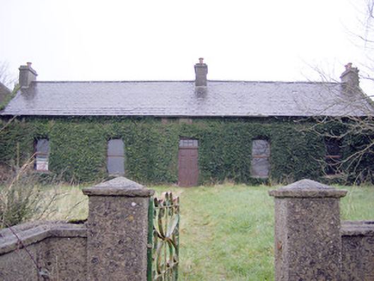 Lake Viewhouse · 619 yd
 The SpectaclesVisitor information · 827 yd
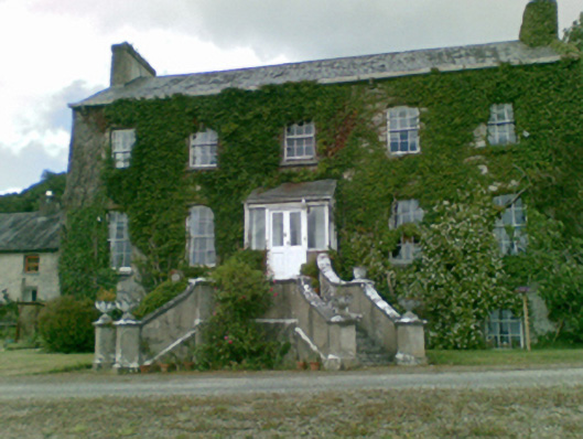 Loughgur Housecountry house · 862 yd
 Lough Gur Heritage CentreVisitor information · 950 yd
 Pedunculate OakPedunculate Oak · 1099 yd
 Garret IslandCastle, unclassified · 1187 yd
 OultinedBawn · 1611 yd
 Grange Stone CircleArchaeological place · 1.0 mi
 Lough GurVisitor information · 1.0 mi
 Banoge's WellSpring · 1.8 mi