What is recorded here
Situated on a poorly drained S-facing slope of rising ground in an upland region. A narrow standing stone (H 1.25m; 0.25m x 0.2m) which is rectangular in plan with its long axis orientated N-S. The stone is unusually narrow and may have been erected as a scratching post.
Compiled by: Caimin O'Brien.
Date of upload: 22 September 2008
Likely dating to the Neolithic or Early Bronze Age, this standing stone may have had a ritual or territorial function, possibly linked to wider ceremonial landscapes in upland areas. No specific folklore or detailed local tradition is recorded.
The monument record does not grant public access. Check the route and ask the landowner before entering private land.
- What survives
- Recorded monument
Places near here
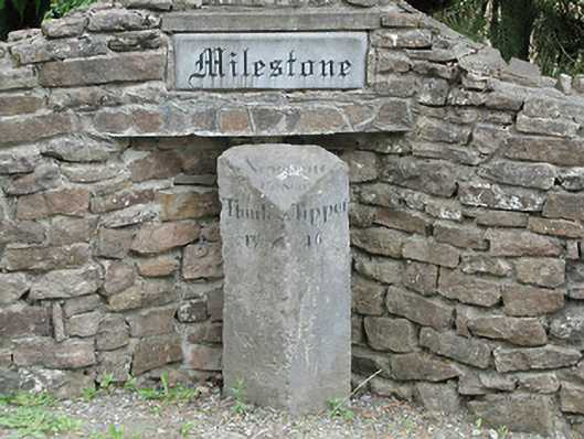 milestone/milepostmilestone/milepost · 1451 yd
 Wedge tomb in Knockcurraghbola CommonsWedge tomb · 1678 yd
 KnockmaroeMountain / peak · 1.0 mi
 Hut site in AughvallydeagHut site · 1.3 mi
 KnocknabanshaMountain / peak · 1.8 mi
 Site of Cashlauncreen CastleCastle, tower house · 2.2 mi
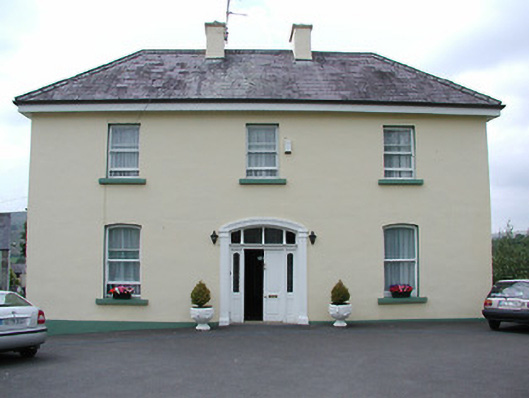 presbytery/parochial/curate's housepresbytery/parochial/curate's house · 2.5 mi
 Drumbane CastleCastle · 5.3 mi
 Drum WoodWood · 5.8 mi
 Killavalla WoodForest · 7.5 mi
 Silvermines ViewpointViewpoint · 8.9 mi
 Our Lady Assumed into HeavenMemorial · 9.7 mi