What is recorded here
On the W side of a slight col. Conglomerate stone (dims. 0.8m x 0.6m; H 1.05m) roughly oriented N-S. It is situated c. 200m SW of a possible hillfort (WA005-052----).
The above description is derived from the published 'Archaeological Inventory of County Waterford' (Dublin: Stationery Office, 1999). In certain instances the entries have been revised and updated in the light of recent research.
Date of upload/revision: 27th October, 2010. Compiled by: Micahel Moore.
The monument record does not grant public access. Check the route and ask the landowner before entering private land.
- What survives
- Recorded monument
Places near here
 Hilltop enclosure in KnockatrellaneHilltop enclosure · 334 yd
 Fulacht fia in KnockatrellaneFulacht fia · 647 yd
 Mine in KnockatrellaneMine · 1160 yd
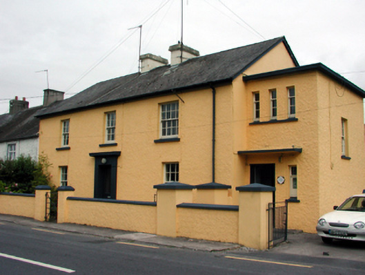 Ballymacarbry Garda Síochána Stationgarda station/constabulary barracks · 1287 yd
 Site of CastleCastle, unclassified · 1.2 mi
 Laeka WoodWood · 1.5 mi
 Curraghcloney CastleCastle · 1.6 mi
 Pigeon HillMountain / peak · 1.9 mi
 KnockeenMountain / peak · 2.6 mi
 Turraphuca WoodForest · 3.0 mi
 European long distance path E8 - part IrelandWalking route · 4.1 mi