What is recorded here
Knockainy West holds a rectangular stone one metre high and thirty-two centimetres across, waiting twenty metres from two barrows. It is small enough to touch, yet old enough to have watched people bury their dead and forget the shape of the sky. Perhaps it marked a path, a boundary or a promise no longer spoken.
Standing stone described in 2004 as following; 'This previously unrecorded stone is located c. 200m to the south-east of the barrow pair [LI032-140001-/002-]. It stands 1m high and is rectangular in plan, measuring 0.32m by 0.25m at its base' (Condit and Coyne 2004).
Compiled by: Caimin O'Brien
Date of upload: 07 August 2019
Likely dating to the Neolithic or Bronze Age, this standing stone may have had ritual or commemorative significance, possibly linked to the nearby barrows. Its small size suggests it could have been part of a wider ceremonial landscape, though specific folklore or use is not recorded.
The monument record does not grant public access. Check the route and ask the landowner before entering private land.
- What survives
- Recorded monument
Places near here
 Doonainy, HachuredMound · 356 yd
 KnockainyMountain / peak · 362 yd
 Mullach an Triuir - HachuredBarrow, ring-barrow · 424 yd
 Knockainy Creamerycreamery · 474 yd
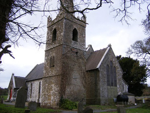 Saint John's Church (Knockainy)church/chapel · 546 yd
 Knockainy Castle (in ruins)Castle, tower house · 555 yd
 Desmond Castle (in ruins)Castle, unclassified · 703 yd
 Flat cemetery in Knockainy WestFlat cemetery · 1358 yd
 Glen BogForest · 1.7 mi
 Kilteely HillMountain / peak · 4.1 mi
 St Patrick's WellSpring · 4.4 mi
 St. Patrick's WellSpring · 4.5 mi