
What is recorded here
Doonainy Cairn on Knockainy Hill described by O'Kelly (1944, 21) as following; 'This occupies the highest point of the E. shoulder of Knockainy hill. The N.E. quadrant of the mound has been badly damaged by efforts to dig it away or to find treasure. It measures 70' [21m] N-S and 45' [13m] E-W and seems to have been built of earth and stones. The height is about 7' [2.1m]. Westropp gives its diameter as between 48' [14.6m] and 55' [16.7m] and its height as 11' [3.3m]. It is difficult to decide exactly where the edge of the mound lies, and by taking the edge sufficiently far out one could find a height of 11' [3.3m]. Westropp also mentions a faintly marked enclosure and a fainter circular hollow adjoining the tumulus. The enclosure seems to be part of an ancient field, and the hollow seems to be a natural depression on the hill. The same author suggests that this is the cairn of Áine, but there would not appear to be much evidence for this identification. It is called Dunainy on the O.S. map'. An OS trig. station marking the spot height of 537ft. [163m] is marked at this location on the 1840 ed. OS 6-inch map.
The cairn was described in 2004 as following; 'On the eastern summit of the hill at a height of 162m, this grass-covered cairn attains a maximum height of 2.5m, measuring 12m east-west by 20m north-south. The body of the cairn has been damaged by quarrying. A possible second
cairn may be the result of localised quarrying. Nearby are the remnants of low field walls' (Condit and Coyne 2004).
Compiled by: Caimin O'Brien
Date of upload: 07 August 2019
See attached ASI aerial photograph ASIAP - 304/26 taken on 13/09/2002; 348/2 and 348/13 taken on 05/01/2003.
Neolithic passage tomb; dates to the early to middle Neolithic period (c. 3700–3000 BCE). It is significant as part of a broader network of megalithic monuments in the region, reflecting early communal burial practices and landscape organisation.
The monument record does not grant public access. Check the route and ask the landowner before entering private land.
- What survives
- Recorded monument
Places near here
 KnockainyMountain / peak · 18 yd
 Mullach an Triuir - HachuredBarrow, ring-barrow · 69 yd
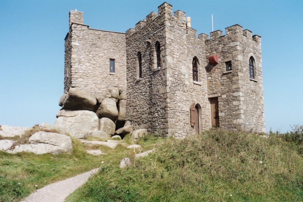 Carn of Uainide, HachuredBarrow, ring-barrow · 106 yd
 Old Parochial Housepresbytery/parochial/curate's house · 700 yd
 Knockainy Creamerycreamery · 821 yd
 Knockainy Castle (in ruins)Castle, tower house · 843 yd
 Desmond Castle (in ruins)Castle, unclassified · 1035 yd
 Flat cemetery in Knockainy WestFlat cemetery · 1713 yd
 Glen BogForest · 1.5 mi
 Kilteely HillMountain / peak · 4.2 mi
 St Patrick's WellSpring · 4.5 mi
 St. Patrick's WellSpring · 4.6 mi
Other information
Photo: Credit not shown in the picture search · Rights wording not checked; contact us if this picture should be removed