What is recorded here
Knockacullin holds an irregular standing stone aligned northeast to southwest, rising 1.8 metres within a possible enclosure. It is the kind of place where people may have marked ownership, prayed for rain or simply watched the light move across west Cork. The stone does not need a heroic story, but it keeps a human one alive because someone stood before it and chose to remember.
Within possible enclosure (CO115-03901-). Irregular stone aligned NE-SW (H 1.8m; 0.9m x 0.7m). (O'Brien 1970, 15).
The above description is derived from the published 'Archaeological Inventory of County Cork. Volume 1: West Cork' (Dublin: Stationery Office, 1992). In certain instances the entries have been revised and updated in the light of recent research.
Date of upload/revision: 14 January 2009
The monument record does not grant public access. Check the route and ask the landowner before entering private land.
- What survives
- Recorded monument
Places near here
 Hut site in Rossmackowen CommonsHut site · 487 yd
 CairnCairn, unclassified · 521 yd
 Holly HillMountain / peak · 609 yd
 Mass-house in ShanacoumhaMass-house · 1375 yd
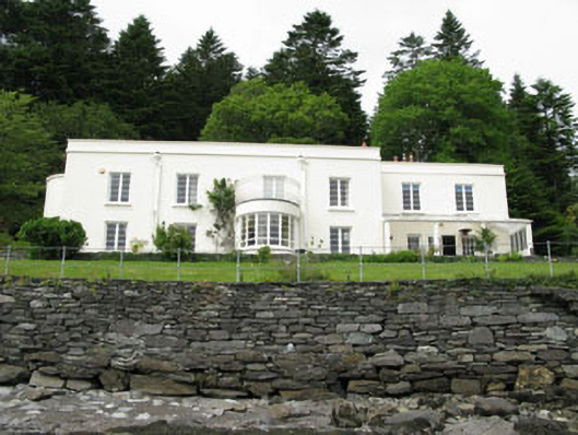 Waterfall Househouse · 1651 yd
 TrawnablahaBeach / strand · 1709 yd
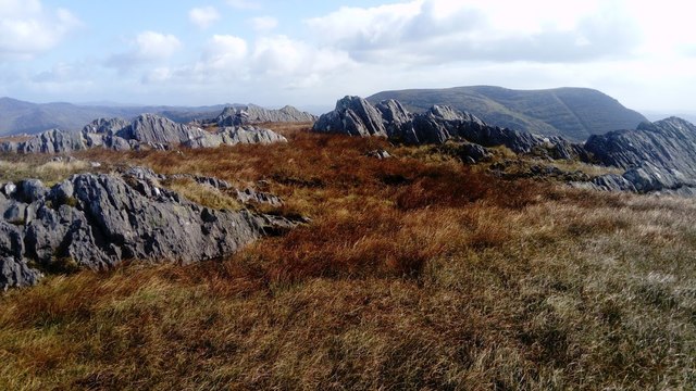 KnocknagreeMountain / peak · 1.8 mi
 Turk IslandIslet · 2.1 mi
 Rerrin LoopWalking route · 2.4 mi
 Mare's Tail WaterfallViewpoint · 2.8 mi
 Minane IslandIslet · 2.9 mi
 Beara WayWalking route · 3.0 mi