What is recorded here
Kilva held a six-foot pillar stone before time and forgetting buried it. Whether it marked a boundary, a grave or a promise is no longer certain. What remains is a shape the earth swallowed and a name that still points toward the loss.
According to Power (1940, 25) 'pillar stone about 6 feet high, now prostrate' in this townland. Exact location not known.
The above description is derived from the published 'Archaeological Inventory of County Cork. Volume 2: East and South Cork' (Dublin: Stationery Office, 1994). In certain instances the entries have been revised and updated in the light of recent research.
Date of upload/revision: 14 January 2009
The monument record does not grant public access. Check the route and ask the landowner before entering private land.
- What survives
- Recorded monument
Places near here
 RoadRoad, road/trackway · 577 yd
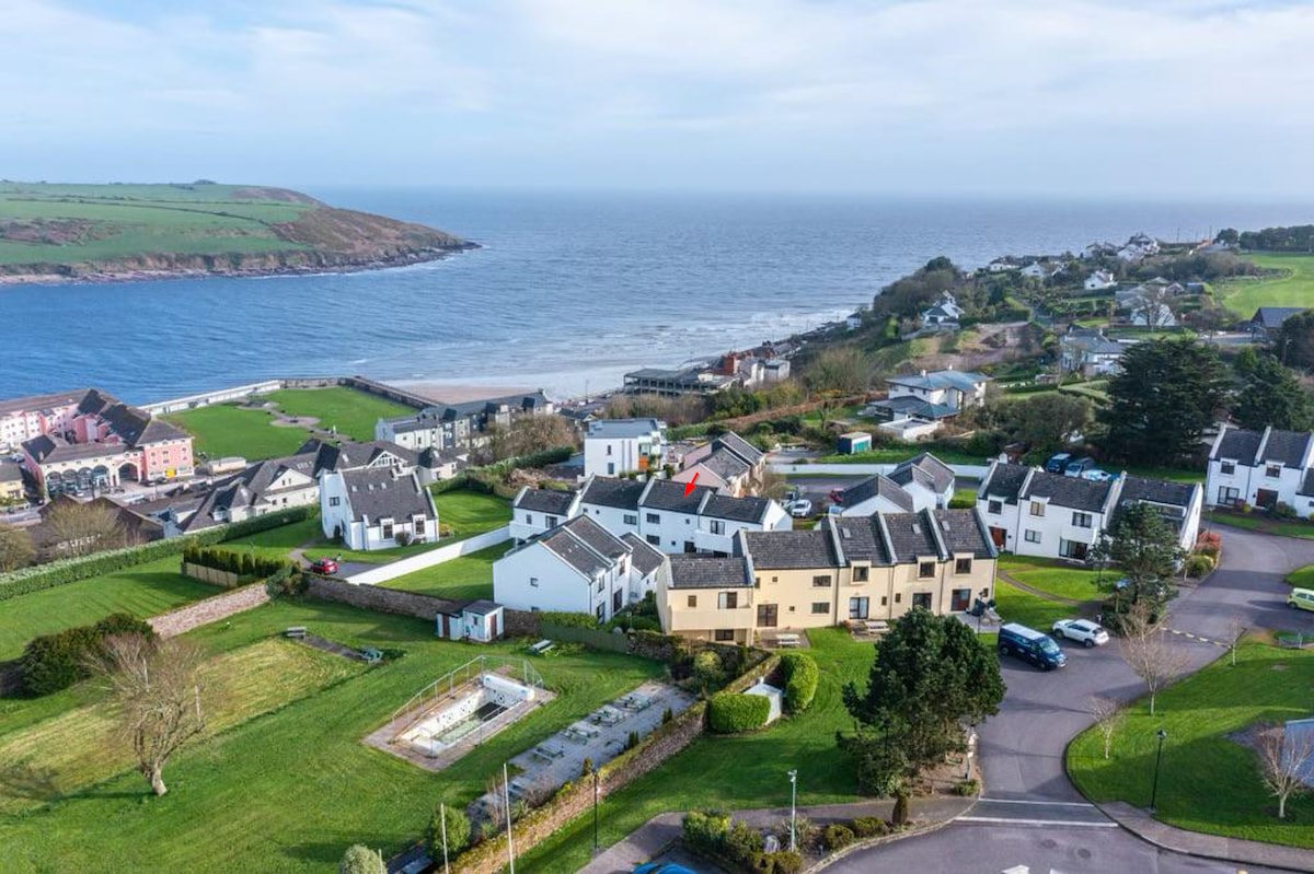 Fulacht fia in Bawnard EastFulacht fia · 827 yd
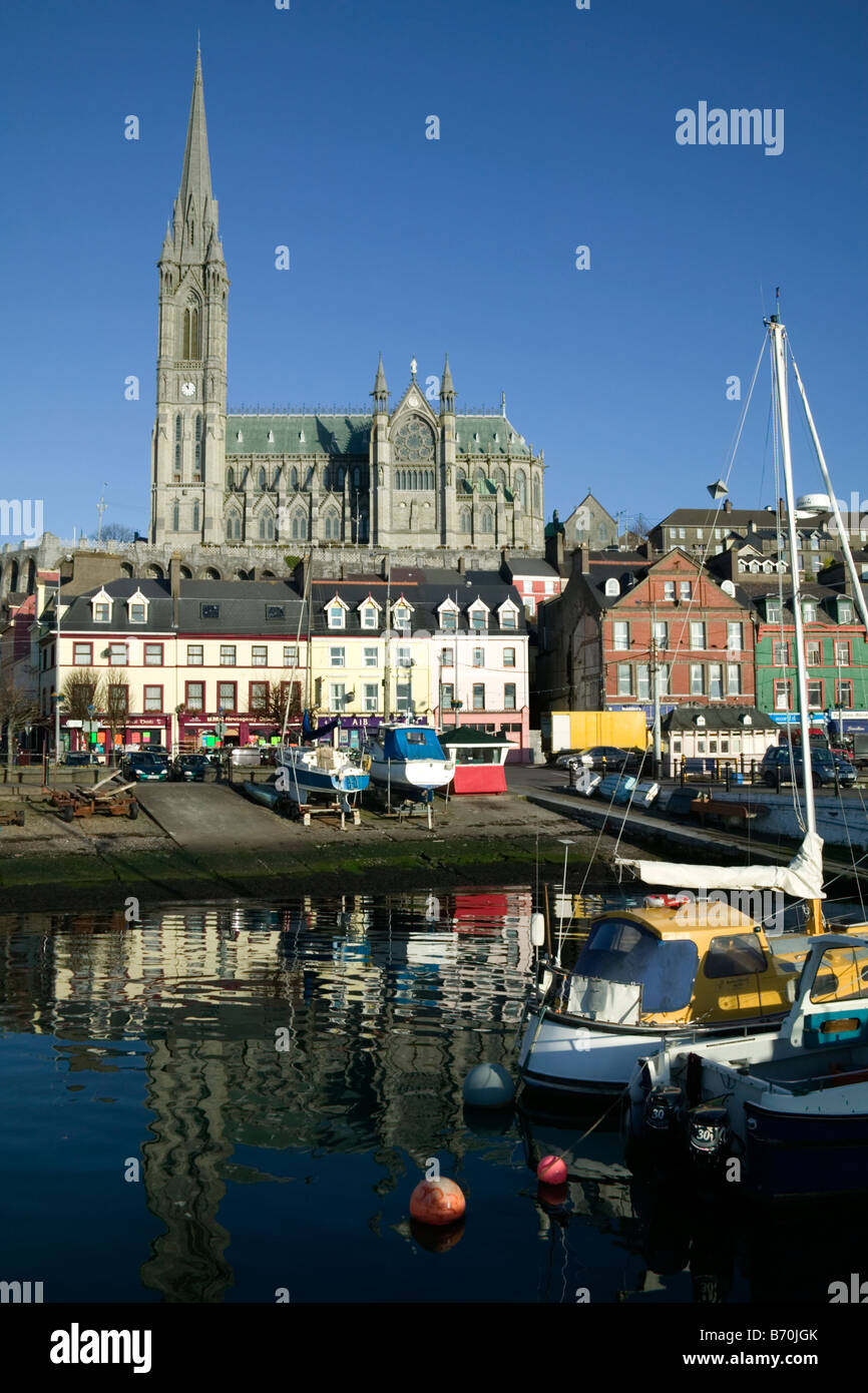 St Colemans WellHoly well · 941 yd
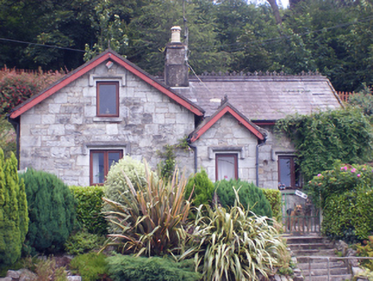 gate lodgegate lodge · 1329 yd
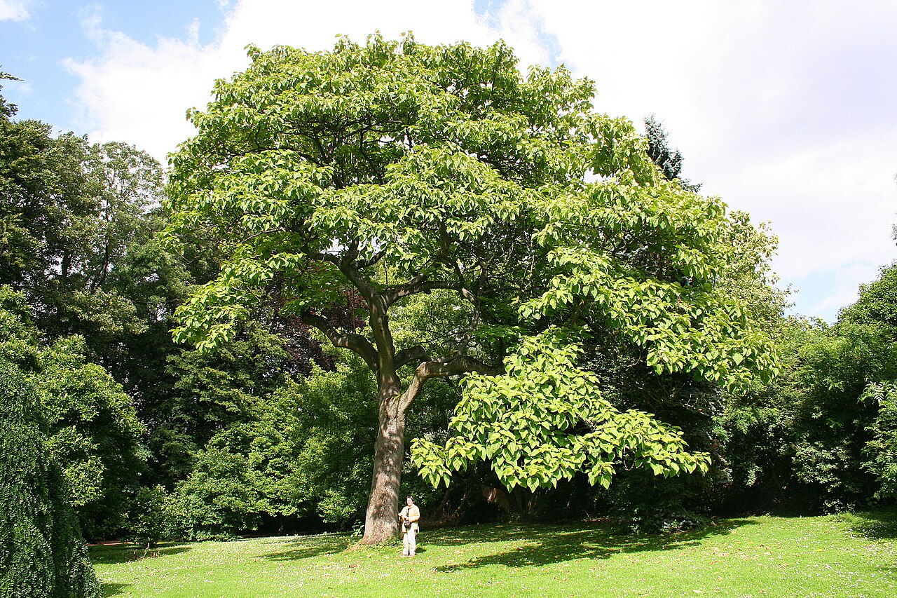 PrincesstreePrincesstree · 1.1 mi
 European YewEuropean Yew · 1.1 mi
 CastleCastle, tower house · 1.5 mi
 Garrankinnefeake GraveyardRuins · 1.7 mi
 Edward BransfieldMemorial · 1.8 mi
 Castle (in Ruins)Castle, tower house · 1.8 mi
 Site of old schoolHeritage attraction · 3.3 mi
 US Naval Air Station USNAS QueenstownHeritage attraction · 3.6 mi