
What is recorded here
Stretch (L c. 500m) of disused trackway, defined to S by demesne wall of Castlemary estate and to N by overgrown earthen bank (which marks the townland boundary). According to Fitzgerald (1858, 50) 'traces of an ancient road....called Bohur-na-bo-ruadh, the road of the Red Cow'; he gives the line of the road as from Cloyne through Castlemary to Rathcoursey where it crossed the estuary to Ballyvodock (Ballyvodig) and thence to Glanmire via Foaty (ibid); presumably it met the main road N from Cork to Glanmire. There is a related tradition of a 'Bothar na Naomy i.e. the Road of the Saints' (Coleman 1894, 35) crossing onto the Great Island at East Ferry, along which Power (1923, 200) considered would lie 'the shortest route from Cloyne to Finbarr's School of Cork' (ibid.). Fitzgerald (ibid.) also mentions a 'monumental chest of stone ....Leava-na-bo fuine, or Sepulchre of the White Cow' which was destroyed by the builders of the demesne wall at Castlemary.
The above description is derived from the published 'Archaeological Inventory of County Cork. Volume 2: East and South Cork' (Dublin: Stationery Office, 1994). In certain instances the entries have been revised and updated in the light of recent research.
Date of upload/revision: 14 January 2009
This remains an important historical record, but the official description says the monument is no longer visible or has been destroyed. The monument record does not grant public access. Check the route and ask the landowner before entering private land.
- What survives
- No visible remains or recorded as destroyed
Places near here
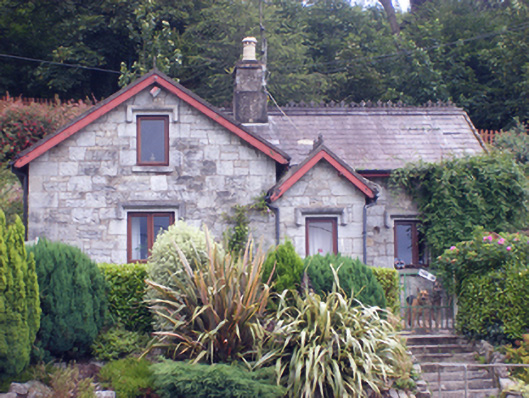 gate lodgegate lodge · 752 yd
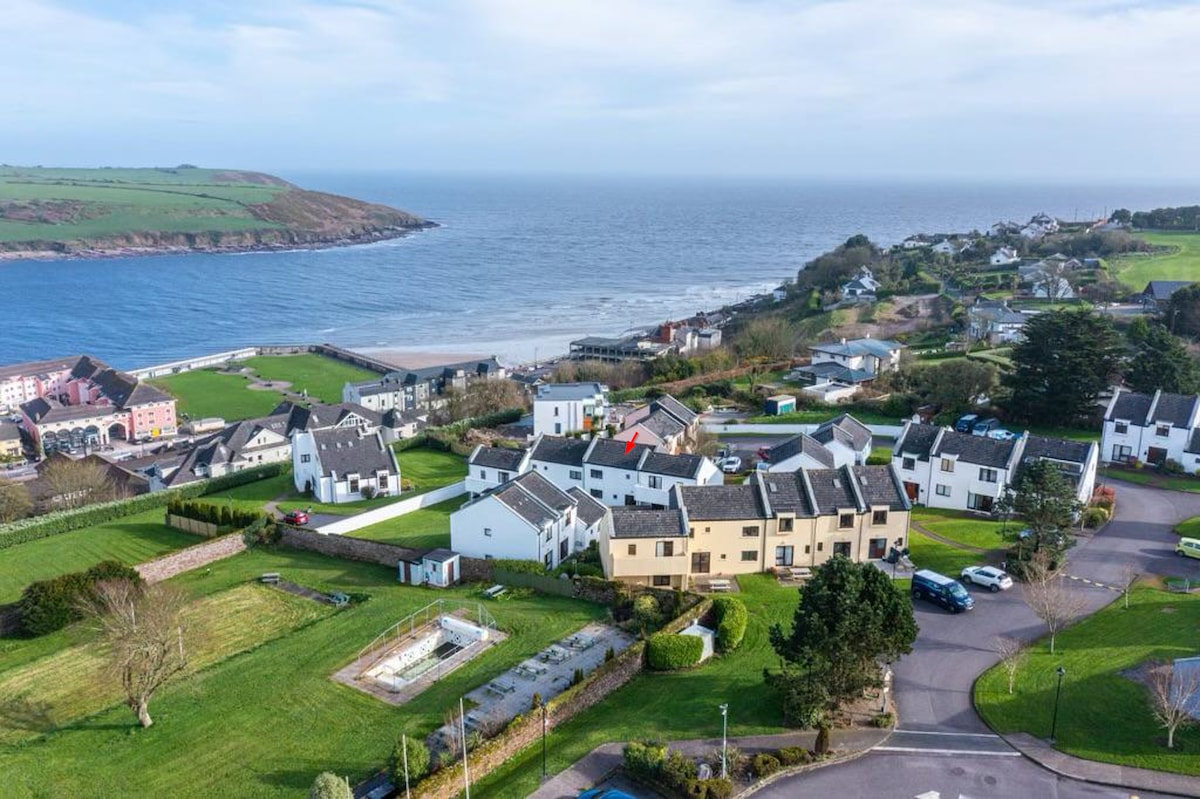 Fulacht fia in Bawnard EastFulacht fia · 836 yd
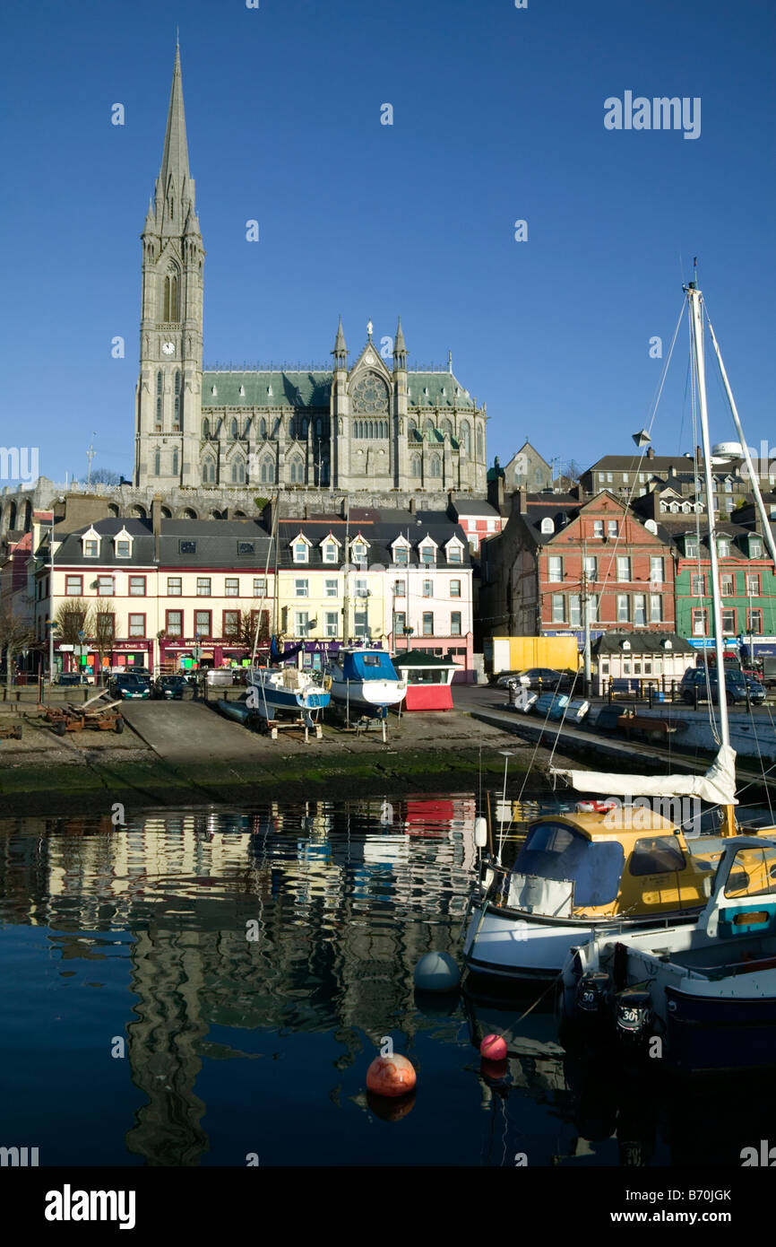 St Colemans WellHoly well · 1067 yd
 Catholic ChurchChurch · 1284 yd
 Japanese cedarJapanese cedar · 1593 yd
 European YewEuropean Yew · 1597 yd
 Garrankinnefeake GraveyardRuins · 1.4 mi
 CastleCastle, tower house · 1.5 mi
 Edward BransfieldMemorial · 1.9 mi
 Castle (in Ruins)Castle, tower house · 2.1 mi
 Site of old schoolHeritage attraction · 3.1 mi
 US Naval Air Station USNAS QueenstownHeritage attraction · 3.3 mi
Other information
Photo: Credit not shown in the picture search · Rights wording not checked; contact us if this picture should be removed