What is recorded here
Kilquane holds a narrow standing stone, rising one and a half metres on a southwest-facing slope. Its long axis points northwest to southeast, and its top reduces to a sharp edge. The stone stands in working land, not hidden in moss or myth. It may have marked a boundary, a path or a promise forgotten by time.
In tillage on SW-facing slope. Irregular stone (H 1.5m; 1m x 0.28m), long axis NW-SE, narrowing towards top.
The above description is derived from the published 'Archaeological Inventory of County Cork. Volume 2: East and South Cork' (Dublin: Stationery Office, 1994). In certain instances the entries have been revised and updated in the light of recent research.
Date of upload/revision: 14 January 2009
Dated to the Late Neolithic or Early Bronze Age, this standing stone may have functioned as a territorial marker or had ceremonial significance. No specific folklore or detailed use is recorded for this site.
The monument record does not grant public access. Check the route and ask the landowner before entering private land.
- What survives
- Recorded monument
Places near here
 Church (Site of)Church · 533 yd
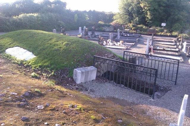 Sing Sing PrisonMonument · 541 yd
 Ballingohig Bridgebridge · 995 yd
 Gleeson MemorialMemorial · 1361 yd
 Ashtongrovecountry house · 1.1 mi
 Castle (Site of)Castle, unclassified · 2.1 mi
 Moanbaun ForestForest · 2.7 mi
 Carberrytown WoodWood · 2.7 mi
 Sarsfields Court (in Ruins)Castle, unclassified · 2.7 mi
 Glanmire Heritage SocietyMemorial · 4.6 mi
 Cork WalksVisitor information · 5.3 mi
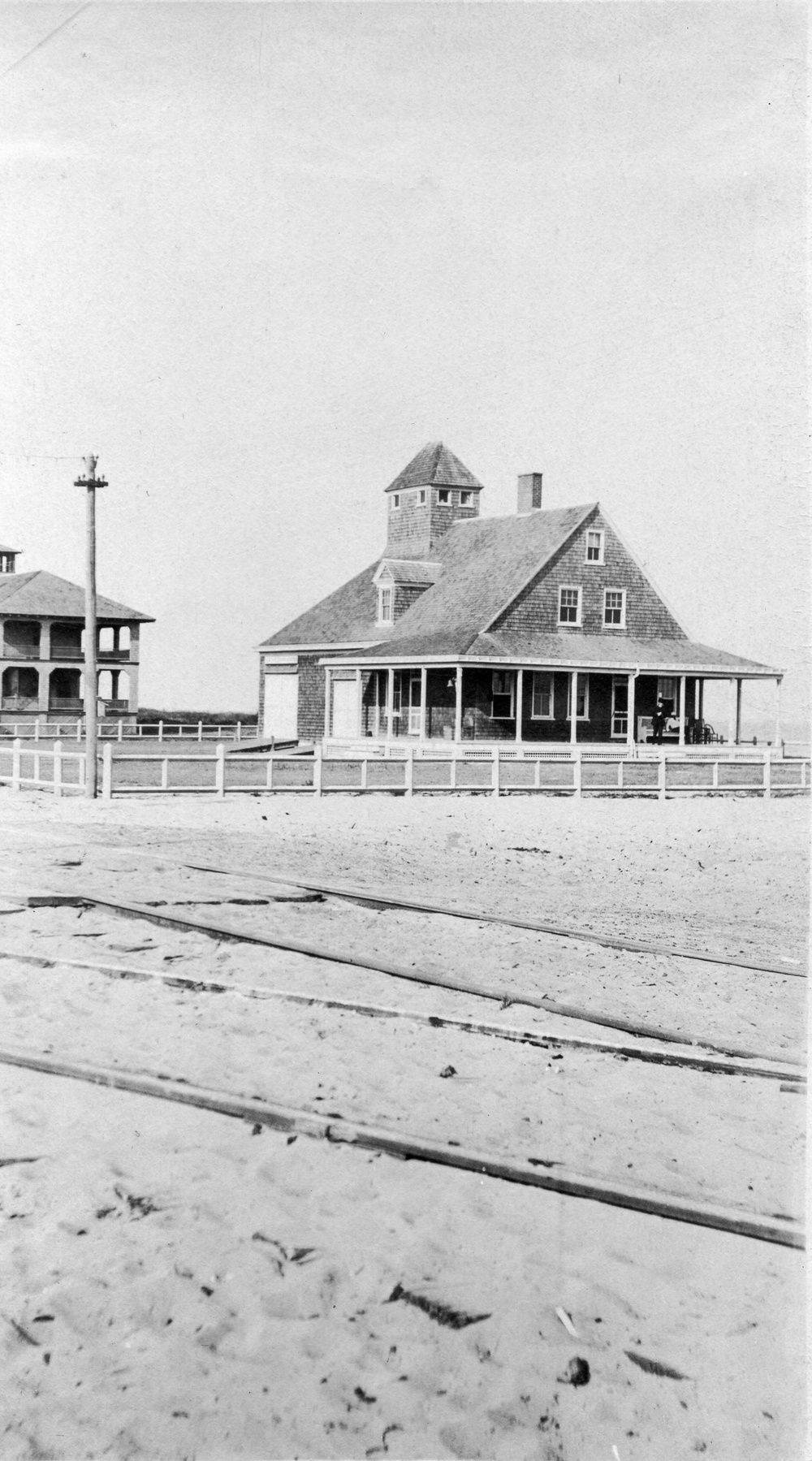 Old coast guard station ruinRuins · 5.8 mi