What is recorded here
Located on low-lying level ground at the base of the Magharees Peninsula, about 1/2 mile south of Lough Gill. This standing stone, 2m long, .5m to .8m wide and from .25 to .8m thick, was knocked over about 10 years ago (local information). It now lies against the field wall immediately S of its original position.
The above description is derived from J. Cuppage, ‘Corca Dhuibhne. Dingle Peninsula archaeological survey. Ballyferriter. Oidhreacht Chorca Dhuibhne’ (1986), no. 119. In certain instances the entries have been revised and updated in the light of recent research.
Date of upload: 4 August 2013
The monument record does not grant public access. Check the route and ask the landowner before entering private land.
- What survives
- Recorded monument
Places near here
 ToberineyHoly well · 180 yd
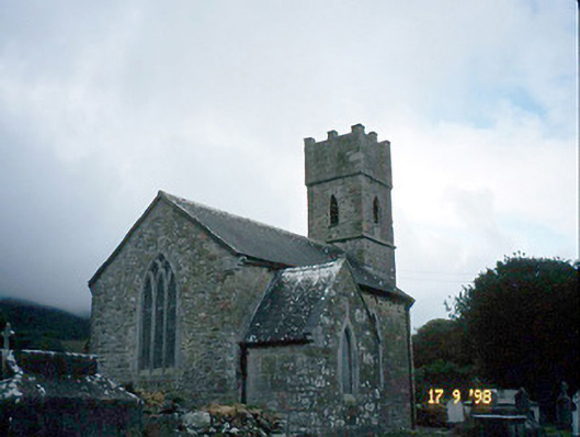 Saint Brendan's Church (Killiney)church/chapel · 362 yd
 Killiney Church (in ruins)Church · 380 yd
 IndicatedCastle, tower house · 388 yd
 Hut site in KillineyHut site · 1127 yd
 Site of CastleCastle, unclassified · 1624 yd
 Sandy Bay BeachBeach / strand · 2.1 mi
 CarrigadavMountain / peak · 2.3 mi
 Fermoyle BeachBeach / strand · 2.4 mi
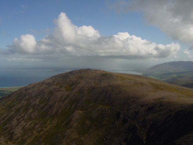 Stradbally MountainMountain / peak · 2.7 mi
 Glanteenassig Forest ParkForest · 3.3 mi
 Hillville WoodWood · 3.4 mi