What is recorded here
Situated just below the highest point of a NE-SW ridge, in a localised hollow. Bedrock lies close to the surface. A conglomerate (H 1.08m; dims. 0.46m x 0.2m) aligned NW-SE with possible packing-stones the base of the SW face. The stone has a flat surface on both long axes.
The above description is derived from 'The Archaeological Inventory of County Tipperary. Vol. 1 - North Tipperary' compiled by Jean Farrelly and Caimin O'Brien (Dublin: Stationery Office, 2002). In certain instances the entries have been revised and updated in the light of recent research.
Date of upload/revision: 22 September 2008
The monument record does not grant public access. Check the route and ask the landowner before entering private land.
- What survives
- Recorded monument
Places near here
 IndicatedCastle, motte · 613 yd
 Enclosure in Lackenavorna,tiermoyleEnclosure · 1189 yd
 Interragh HillMountain / peak · 1236 yd
 Enclosure in Poulakerry (kilkeary Par.)Enclosure · 1588 yd
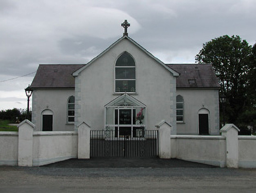 Saint Joseph's Catholic Churchchurch/chapel · 1.3 mi
 Moat of LatteraghCastle, motte · 1.4 mi
 Grenanstown Househouse · 1.4 mi
 Knockacraheen HillMountain / peak · 1.6 mi
 Killavalla WoodForest · 1.8 mi
 Kyleroe WoodWood · 3.4 mi
 James Devaney MemorialMemorial · 6.1 mi
 Silvermines ViewpointViewpoint · 7.5 mi