What is recorded here
Situated on wet, low-lying ground, outside and to the SE of the ecclesiastical enclosure around Kill St Lawrence church (WA017-005001-). A shale stone (dims. c. 0.6m x c. 0.35m; original H 1.35m) was roughly aligned N-S. The stone leaned severely to W and may have been damaged in antiquity. It was moved to the edge of the field since 1989, and no evidence of it was found in excavation and survey conducted for the re-alignment of the R708 Airport road. When roadworks were completed it was re-erected close to its original location on the E side of the road.
The above description is derived from the published 'Archaeological Inventory of County Waterford' (Dublin: Stationery Office, 1999). In certain instances the entries have been revised and updated in the light of recent research.
Compiled by: Michael Moore
Date of upload/revision: 17 January 2011
Likely dating to the Early Christian period, the stone's alignment and location near the church suggest a possible ritual or territorial function. No inscriptions or carvings are mentioned, so its specific meaning or folklore remains unclear.
The monument record does not grant public access. Check the route and ask the landowner before entering private land.
- What survives
- Recorded monument
Places near here
 Hut site in Kill St. LawrenceHut site · 31 yd
 Kill St. Lawrence Church (in ruins)Church · 126 yd
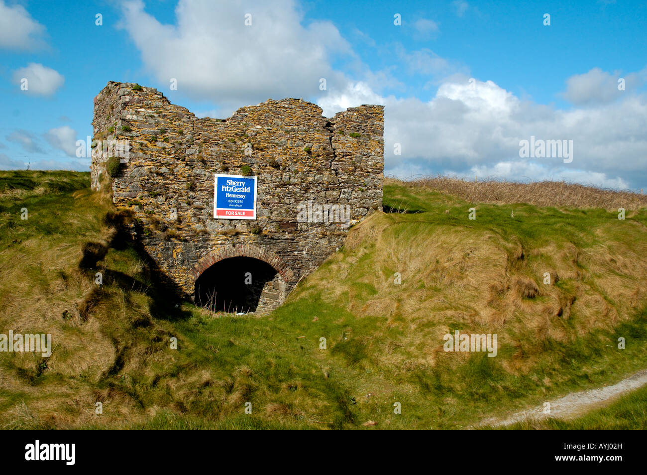 Kiln in CarrigavoeKiln · 343 yd
 Hearth in KilcohanHearth · 713 yd
 French TowerHeritage attraction · 1.9 mi
 Sugar Loaf RockMountain / peak · 3.3 mi
 Cullen Castle (in ruins)Castle, tower house · 4.2 mi
 Mount Congreve GardensHeritage attraction · 4.8 mi
 Corluddy Castle (in Ruins)Castle, tower house · 5.0 mi
 Tramore Dunes WalkWalking route · 5.1 mi
 Tramore Tourist OfficeVisitor information · 5.1 mi