What is recorded here
Marked similarly on the 1837 and 1914 eds of the OS 6-inch map and described as a standing stone on both. It is situated in a low-lying position with higher ridges to the E, S and W. Described as c. 0.9m high (OS Name Book), it is not now visible at ground level.
Compiled by: Michael Moore
Date of upload: 24 August 2010
Likely dating to the Neolithic or Bronze Age, the standing stone may have functioned as a territorial marker, ceremonial focus, or astronomical alignment point. No specific folklore or detailed use is recorded for this site.
The monument record does not grant public access. Check the route and ask the landowner before entering private land.
- What survives
- Recorded monument
Places near here
 Embanked enlcosureFairy fort / earthen ringfort · 347 yd
 Ecclesiastical enclosure in KildallogeEcclesiastical enclosure · 401 yd
 Pedunculate OakPedunculate Oak · 567 yd
 Sweet ChestnutSweet Chestnut · 742 yd
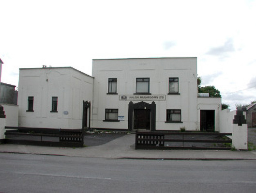 ballroom/dance hall/discoballroom/dance hall/disco · 749 yd
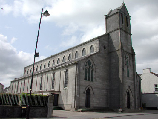 Catholic Church of the Immaculate Conceptionchurch/chapel · 848 yd
 Strokestown House GardensHeritage attraction · 1196 yd
 Strokestown ParkHeritage attraction · 1238 yd
 CastleCastle, unclassified · 1.4 mi
 Slieve BawnMountain / peak · 4.7 mi
 Leitrim CastleCastle, unclassified · 5.4 mi
 Goat IslandIslet · 5.4 mi