What is recorded here
Located just off the crest of a S-facing slope overlooking a SW-NE stream of the headwaters of Aughnabrone stream. A conglomerate stone (dims. 0.7m x 0.4m; max. H 1.2m) roughly oriented E-W. The top of it has been damaged.
Compiled by: Michael Moore
Date of upload: 21 October 2010
Likely dating to the Bronze Age, this standing stone may have served a ritual or territorial function. Its orientation and location suggest a possible alignment with solar or seasonal events, though specific folklore or symbolic meaning is not recorded.
The monument record does not grant public access. Check the route and ask the landowner before entering private land.
- What survives
- Recorded monument
Places near here
 IndicatedEnclosure · 485 yd
 Enclosure in Aughmore,kilballyquiltyEnclosure · 1508 yd
 Bawn in RathgormuckBawn · 1.2 mi
 Rathgormuck National Schoolschool · 1.3 mi
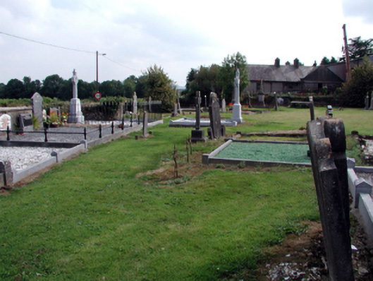 graveyard/cemeterygraveyard/cemetery · 1.3 mi
 MoteCastle, motte and bailey · 1.5 mi
 Coolnamuck Wood WestForest · 1.8 mi
 Churchtown WoodForest · 2.2 mi
 Ormonde CastleHeritage attraction · 3.3 mi
 CarrigfenoaghMountain / peak · 3.6 mi
 CarrigcoumMountain / peak · 3.7 mi
 Thomas KielyMemorial · 3.9 mi