What is recorded here
In a conifer plantation, on steep N-facing slope. Possible burial mound (LI055-026----) lies 235m to the SW. Not marked on OSi historic maps. According to local information this stone known locally as the ‘Giant’s rock’ which is associated with the following story ‘of two giants who fought on plain to NE of site, one fled and the other hurled this stone after him. The giants fingers are visible on the stone’ Inaccessible due to overgrowth. No surface remains visible on Digital Globe orthoimage taken between 2011-2013 and on Google Earth orthoimages.
Compiled by: Fiona Rooney
Date of upload: 17 November 2021
The monument record does not grant public access. Check the route and ask the landowner before entering private land.
- What survives
- Recorded monument
Places near here
 Caher HillMountain / peak · 195 yd
 Burial mound in JamestownBurial mound · 271 yd
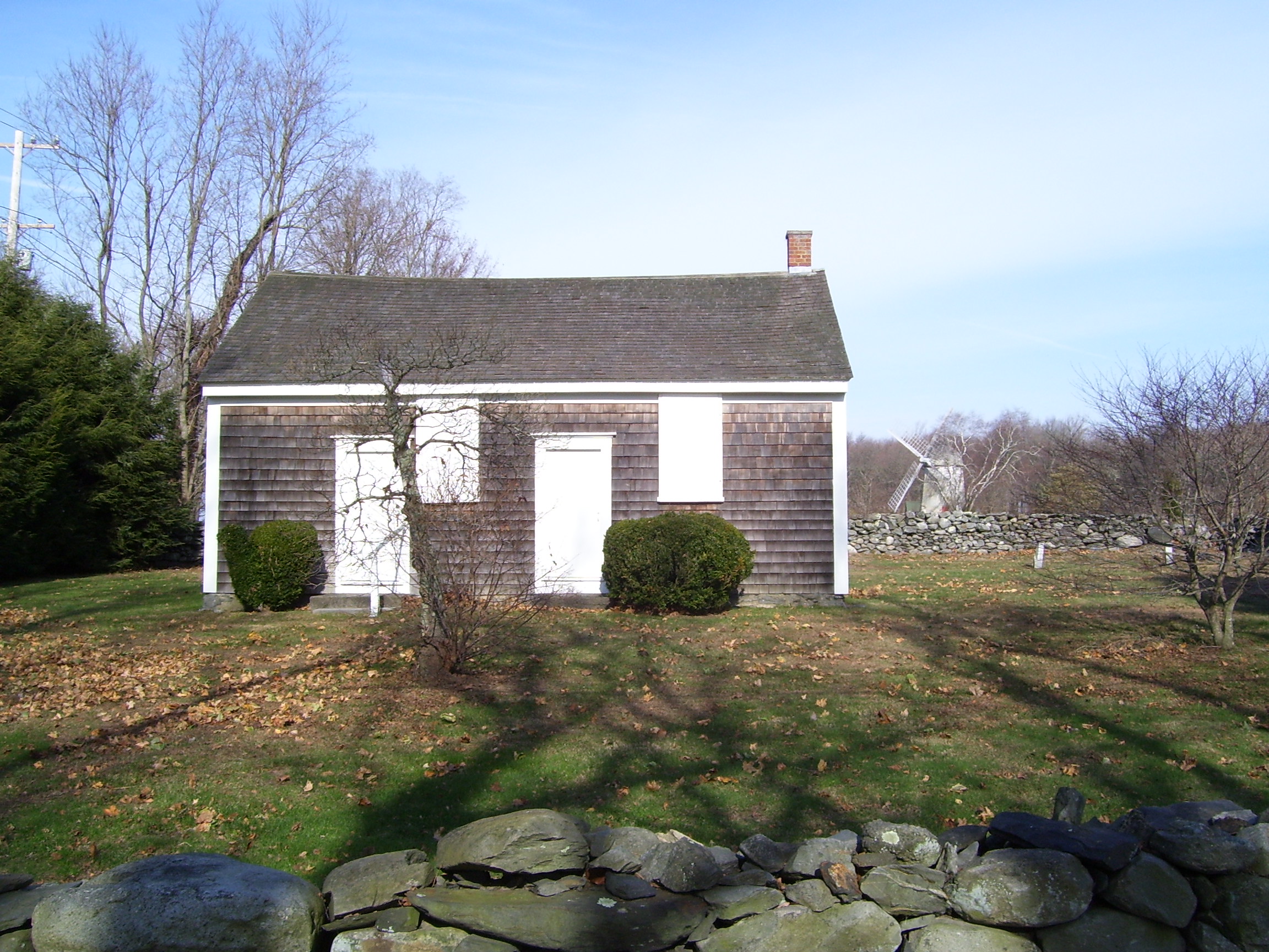 Enclosure in JamestownEnclosure · 298 yd
 Kilquane Church (in ruins)Church · 366 yd
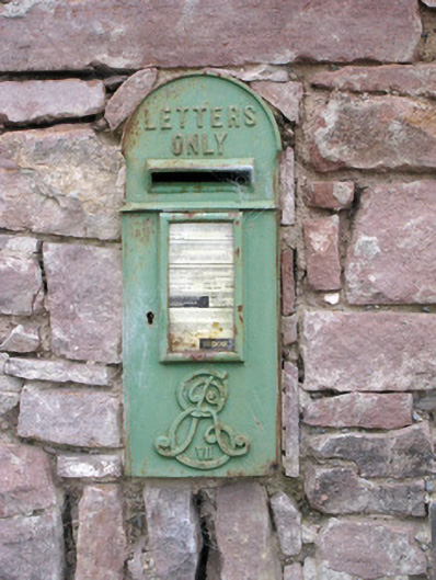 post boxpost box · 399 yd
 Ballymacshaneboy Castle (in ruins)Castle, unclassified · 1602 yd
 Carron MountainMountain / peak · 1.3 mi
 BallinaboolaVisitor information · 1.7 mi
 Castle (in ruins)Castle, unclassified · 1.8 mi
 ToberSpring · 2.8 mi
 Lady's WellSpring · 2.8 mi
 Holy Cross CemeteryGraveyard · 4.3 mi