What is recorded here
That is the information available in the requested source.
In level pasture, immediately N of farm access road. Upright stone (H 1.2m) of limestone is roughly rectangular in plan (L 0.86m; T 0.46m) and elevation; long-axis NNW-SSE. Deep fissures and perforation in centre of elevation caused by natural erosion. In small depression probably caused by cattle erosion.
Compiled by: Denis Power
Date of upload: 25 November 2013
Probably dates to the Late Neolithic or Bronze Age, given the typical form and material of such standing stones in the region. The central perforation may have had ritual or astronomical significance, or could be the result of later human or natural activity.
The monument record does not grant public access. Check the route and ask the landowner before entering private land.
- What survives
- Recorded monument
Places near here
 St Lawrence's WellSpring · 587 yd
 Church (in ruins)Church · 603 yd
 BrufeaArchaeological place · 638 yd
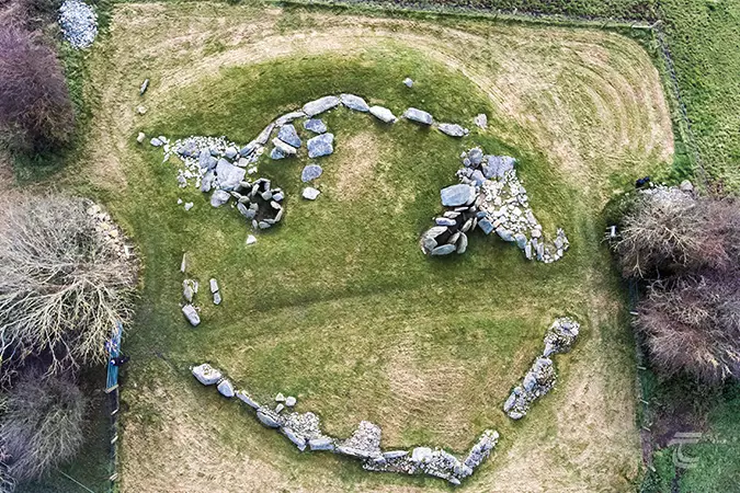 Enclosure in Knockroe (clanwilliam By.)Enclosure · 717 yd
 RoadRoad, road/trackway · 884 yd
 CastleCastle, unclassified · 1020 yd
 Wych ElmWych Elm · 1117 yd
 Greenan CastleCastle · 1389 yd
 Graveyard in AbingtonGraveyard · 4.9 mi
 Grange Stone CircleArchaeological place · 5.2 mi
 Lough GurVisitor information · 5.2 mi
 St. Patrick's WellSpring · 6.2 mi