What is recorded here
Located on an E-facing slope. There are local reports from 1967 of a possible barrow (ME006-014001-) that had been removed c. 1960 and had been W of a stone ‘14 inches by 14 inches and 3 feet 10 inches high (dims c. 0.35m x c. 0.35m; H c. 1.15m)’.
The above description is derived from the published 'Archaeological Inventory of County Meath' (Dublin: Stationery Office, 1987). In certain instances the entries have been revised and updated in the light of recent research.
Compiled by: Michael Moore
Date of revision: 22 October 2018
The monument record does not grant public access. Check the route and ask the landowner before entering private land.
- What survives
- Recorded monument
Places near here
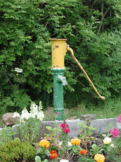 water pumpwater pump · 867 yd
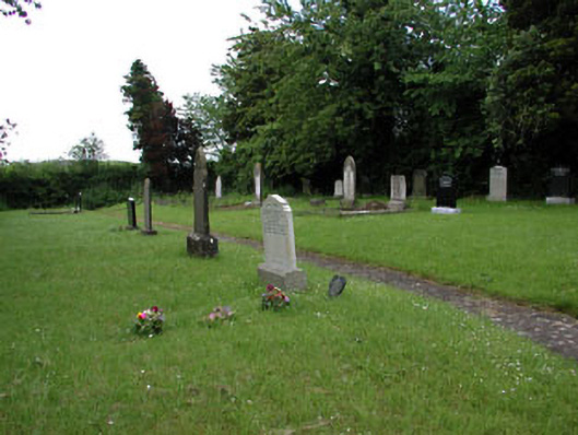 graveyard/cemeterygraveyard/cemetery · 1122 yd
 Yellow HillMountain / peak · 1172 yd
 MoatCastle, motte and bailey · 1286 yd
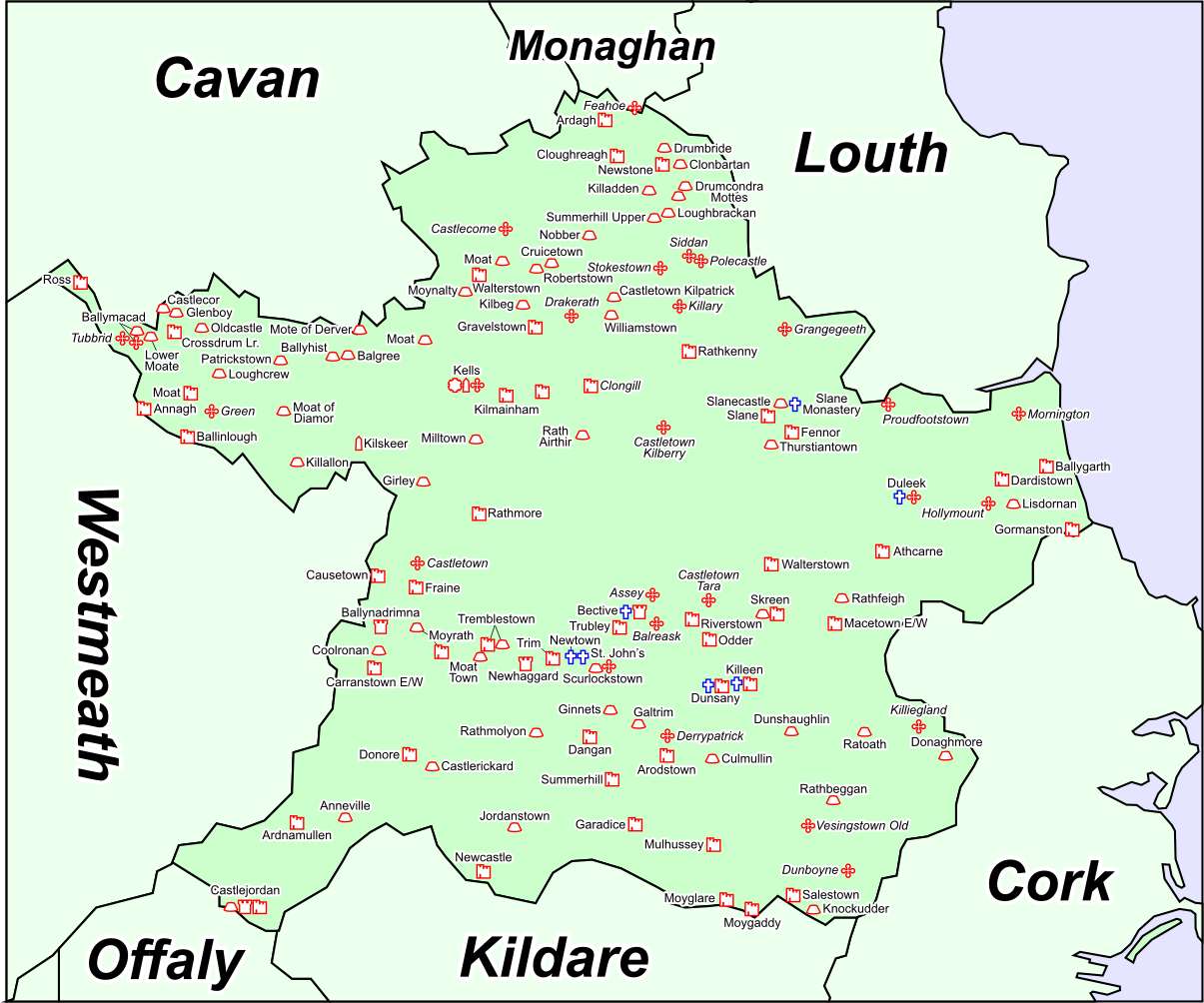 Font in DrumcondraFont · 1400 yd
 Font (present location) in RathtrasnaFont (present location) · 1686 yd
 Matthew's HillMountain / peak · 1.6 mi
 Loughbrackan FortCastle, motte and bailey · 2.0 mi
 European White ElmEuropean White Elm · 3.6 mi
 Valley WoodWood · 3.7 mi
 Sir Frederick Foster MemorialMemorial · 3.9 mi
 Flat cemetery in AnnaheanFlat cemetery · 5.0 mi