
What is recorded here
From the National Monuments Service (Archaeological Survey of Ireland) record CL052-064002
Places near here
Photo credits
- Maker not stated on source page, storage.googleapis.com
- Maker not stated on source page, www.alamy.com
- Maker not stated on source page, www.dreamstime.com
- Dean Goodison / The42, www.the42.ie
- Maker not stated on source page, ca.pinterest.com
- Mike Searle, Wikimedia Commons · CC BY-SA 2.0
- Kmcnamee, Wikimedia Commons · CC BY-SA 4.0
- Maker not stated on source page, www.pinterest.com
- Na Piarsaigh GAA Limerick (official club facilities page publisher); individual photographer not named, napiarsaighgaa.com
- Keith Wiseman / Limerick City and County Council, Source publisher
- Maker not stated on source page, commons.wikimedia.org
- Maker not stated on source page, ru.pinterest.com
 Fairy fort / earthen ringfort in BallycannanFairy fort / earthen ringfort · 1.6 mi
Explorer Tom This wet ringfort in Ballycannan had its road cut through it ages ago, which is basically ancient construction noise.…
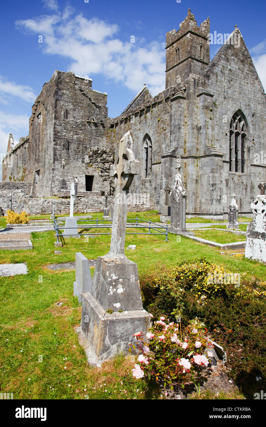 Mapped cemeteryCemetery · 1.6 mi
Explorer Tom Mapped cemetery has a shortcut that isn't actually a shortcut but just a long walk back to where you started, which…
 Fairy fort / ringfort in ReaskcamogeFairy fort / ringfort · 1.9 mi
Explorer Tom Fairy fort / ringfort in Reaskcamoge is where a priest lost a bet over who could dig the deepest hole. He still hasn’t…
 Meelick GAA pitchGAA ground · 2.0 mi
 Church (in Ruins)Church · 3.4 mi
Explorer Tom Church in Cratloemoyle is hiding because the map makers probably got lost looking for it. It’s just a name on a page…
 Cratloe Castle (in Ruins)Castle, tower house · 3.4 mi
Explorer Tom De Clare’s House in Killinaboy has a prophecy about becoming a five-star hotel that never happened. It sat there…
 Bishop's Fields, Abbey SarsfieldsGAA ground · 3.7 mi
 Cratloekeel CastleCastle, tower house · 3.7 mi
Explorer Tom Cratloekeel Castle in Cratloekeel is a tower house with no real details other than 'see attached document,' which is…
 Páirc na PiarsaighGAA ground · 3.8 mi
 Tus Gaelic GroundsGAA ground · 3.8 mi
Explorer Tom At the TUS Gaelic Grounds, Limerick hurling can make a sliotar vanish into the sky and return it with a county's hopes…
 Church in Six-Mile-BridgeChurch · 4.4 mi
Explorer Tom Church in Six-Mile-Bridge was built on a bargain that involved a goat and a very confused priest. The locals swear it’s…
 Graigue IslandIslet · 5.3 mi
Explorer Tom Graigue Island in County Clare was where a priest lost a bet about how long he could hold his breath underwater. He…
More archaeology and monuments in County Clare · All of County Clare

What do you know about this place?Tap to add a comment or ask a question