What is recorded here
Large conglomerate glacial erratic almost rectangular in plan (H 1.3m; 1.7m x 0.6m) aligned NE/SW. Doubtful standing stone due to its location and shape and not marked on any editions of the OS 6-inch maps. According to Feehan (1979, 208-10) this standing stone known locally as the 'Fiddlers Rock' located in centre of possible enclosure (OF039-016001-) of which no surface trace survives
The above description is derived from the published 'Archaeological Inventory of County Offaly' (Dublin: Stationery Office, 1997). In certain instances the entries have been revised and updated in the light of recent research.
Date of upload: 23 May 2011
The monument record does not grant public access. Check the route and ask the landowner before entering private land.
- What survives
- Recorded monument
Places near here
 Holy well in Cumber UpperHoly well · 1554 yd
 Cumber HillMountain / peak · 1652 yd
 IndicatedHillfort · 1666 yd
 Broom HillMountain / peak · 1703 yd
 Tulla Castle (site of)Archaeological place · 1.1 mi
 Site of Tulla CastleCastle, unclassified · 1.1 mi
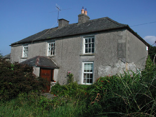 Tulla Housefarm house · 1.1 mi
 Kinnitty ForestForest · 1.2 mi
 Saint Dominick's WellSpring · 1.7 mi
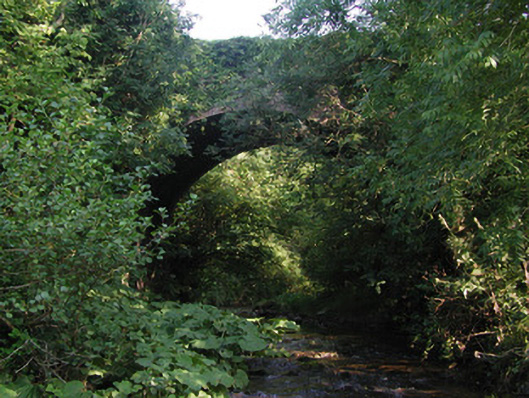 Aghagurty Bridgebridge · 1.9 mi
 Kinnitty Castle LoopWalking route · 2.6 mi
 Slieve Bloom Mountain Bike TrailVisitor information · 2.7 mi