What is recorded here
Situated on a gentle SW-facing slope, and in the NW corner of a field close to a cross-roads. This is a standing stone with a diamond-shaped cross-section (dims. 0.8m x 0.3-0.5m; H 1.55m) oriented NE-SW and with an irregular profile at NE.
The above description is derived from the published 'Archaeological Inventory of County Waterford' (Dublin: Stationery Office, 1999). In certain instances the entries have been revised and updated in the light of recent research.
Date of upload/revision: 10th October, 2011
Compiled by: Michael Moore
Likely dating to the Late Neolithic or Early Bronze Age, this standing stone may have functioned as a territorial marker or ceremonial feature. Its orientation and placement near a cross-roads suggest a possible role in wayfinding or ritual activity, though specific folklore or use is not recorded.
The monument record does not grant public access. Check the route and ask the landowner before entering private land.
- What survives
- Recorded monument
Places near here
 St. Colmans TreeRitual site, holy tree/bush · 1268 yd
 Site of Kilcolman ChurchChurch · 1284 yd
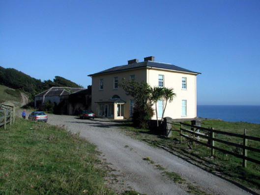 Ballyquin Househouse · 1.4 mi
 Old StablesRuins · 1.4 mi
 Ballyquinn BeachBeach / strand · 1.6 mi
 Curragh/Pebble BeachBeach / strand · 2.1 mi
 Baile StairiúilVisitor information · 3.4 mi
 Ardmore Cliff WalkWalking route · 3.4 mi
 Ardmore Open FarmHeritage attraction · 3.4 mi
 CarronadavdergMountain / peak · 3.5 mi
 Saint Declan's Holy WellSpring · 4.6 mi
 Site of CastleCastle, unclassified · 5.3 mi