What is recorded here
In Glashaboy South, a leaning stone still marks the edge of a forgotten road, its broken top perhaps buried beside it. Condon measured its tilt in 1916, but never found it; years later it reappeared in pasture, thin and crooked, as if waiting to be seen. The stone does not claim to be sacred or ancient beyond doubt. It claims only to have stood, been lost, and returned.
Condon (1916, 60) records a stone to the right of the road from Carrignavar to Battle Hill which is visible from the road. It is '5 feet high....the breadth is 18 inches and the thickness ranges from 7 to 11 inches and the girth is 5 feet 4 inches'. He also notes that 'it is very much out of perpendicular'. Exact location not known.
Subsequent to the publication of the above description in the 'Archaeological Inventory for County Cork: vol. 2 East Cork' (Power et al., 1994, 15, no. 3762), the standing stone was loacted.
In pasture on a gentle E-facing slope. This standing stones (c. 0.55m x c. 0.22m; H 0.94m) is orientated NE-SW. The upper half of the stone gets thinner and it appears as though the top may have been broken off. Another stone (H 0.4m; W 0.45m), embedded in the ground, leans against the S side of the standing stone and this may be the detached upper part of the standing stone.
The above description is derived from the published 'Archaeological Inventory of County Cork. Volume 2: East and South Cork' (Dublin: Stationery Office, 1994). In certain instances the entries have been revised and updated in the light of recent research.
Date of upload/revision: 14 January 2009
Likely dating to the Neolithic or Bronze Age, this standing stone may have functioned as a territorial marker, ceremonial monument, or astronomical alignment feature. No specific folklore or detailed use is recorded for this site.
The monument record does not grant public access. Check the route and ask the landowner before entering private land.
- What survives
- Recorded monument
Places near here
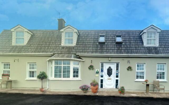 Bricolie's BedMonument · 1.3 mi
 Bottle HillMountain / peak · 1.4 mi
 St John's WellSpring · 1.9 mi
 ToberlanHoly well · 1.9 mi
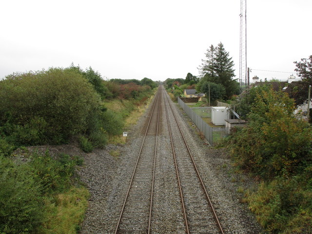 Rathduff Railway Stationrailway station · 2.6 mi
 Graveyard in KilmonaGraveyard · 2.7 mi
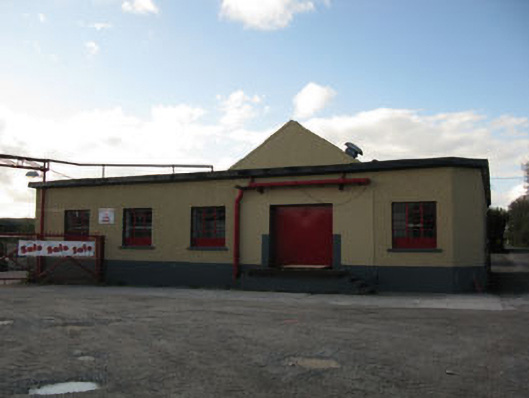 Rathduff Creamerycreamery · 2.7 mi
 Pairc Ath Na hEornaMemorial · 3.7 mi
 Rock HillMountain / peak · 3.8 mi
 Castle (in Ruins)Castle, tower house · 4.3 mi
 Garrycloyne Castle (in Ruins)Castle, tower house · 4.7 mi
 Cork WalksVisitor information · 9.6 mi