What is recorded here
Glanycummane Upper held a standing stone on Mr Brennan's land, though it lay recumbent and measured three feet ten inches when Bowman recorded it in 1934. The exact spot has vanished, leaving behind a ghost marker rather than a visible stone. Whatever purpose it served, the earth or ownership changed enough to bury the coordinate while preserving the shape.
Bowman (1934, 720) recorded standing stone on Mr Brennan's land; 'This is now in a recumbent position. It is 3ft 10in long'. Exact location not known.
The above description is derived from the published 'Archaeological Inventory of County Cork. Volume 4: North Cork' (Dublin: Stationery Office, 2000). In certain instances the entries have been revised and updated in the light of recent research.
Date of upload/revision: 14 January 2009
The monument record does not grant public access. Check the route and ask the landowner before entering private land.
- What survives
- Recorded monument
Places near here
 Fulacht fia in Glanycummane UpperFulacht fia · 313 yd
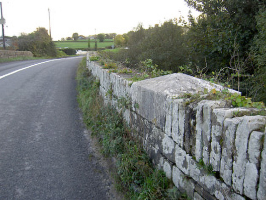 Allow Bridgebridge · 1.2 mi
 Allow BrBridge · 1.2 mi
 Holy well in KeeltaneHoly well · 1.2 mi
 Carrig Castle (Site of)Castle, unclassified · 3.0 mi
 Stanner's Glen, Priory WoodWood · 3.6 mi
 Castle LisheenCastle · 3.9 mi
 National Co-op MuseumMuseum · 4.7 mi
 Battle of LiscarrollMajor battlefield · 4.9 mi
 Mullaghareirk - Banane LoopWalking route · 6.2 mi
 KnockacummerMountain / peak · 7.4 mi
 Kanturk CastleHeritage attraction · 7.4 mi