What is recorded here
Situated just off the summit of a small knoll known as Gibbet Hill, on a plateau overlooking the River Suir. A conglomerate stone with a rectangular cross-section (dims. 1m x 0.45-0.6m; max. H 1.4m) is oriented N-S. Archaeological testing (03E0957) in the surrounding area by Colm Moloney (2006) and Catriona Gleeson (05E0421) (Gleeson 2008) failed to produce any related material. (Cassidy 1992)
Cassidy, N. (1992) A standing stone at Gibbet Hill, Waterford, Decies, No. 45, 12-13.
Gleeson, C. (2008) Bowes Head, Gibbett Hill, Gracedieu. Testing. in I. Bennett (Ed.) Excavations 2005: summary accounts of excavations in Ireland, 363, No. 1493. Wordwell. Dublin.
Moloney, C. (2006) Gibbethill. No archaeological significance. in I. Bennett (Ed.) Excavations 2003: summary accounts of excavations in Ireland, 498, No. 1877. Wordwell. Bray.
The above description is derived from the published 'Archaeological Inventory of County Waterford' (Dublin: Stationery Office, 1999). In certain instances the entries have been revised and updated in the light of recent research.
Date of upload/revision: 09 November 2010
Compiled by: Michael Moore
Likely dating to the Bronze Age, the stone's alignment and position suggest it may have had ceremonial or ritual significance, possibly linked to landscape orientation or seasonal markers. No specific folklore is recorded, but its placement on a prominent hilltop implies a connection to prehistoric territorial or spiritual practices.
The monument record does not grant public access. Check the route and ask the landowner before entering private land.
- What survives
- Recorded monument
Places near here
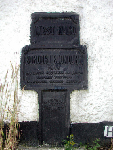 ward boundary markerward boundary marker · 98 yd
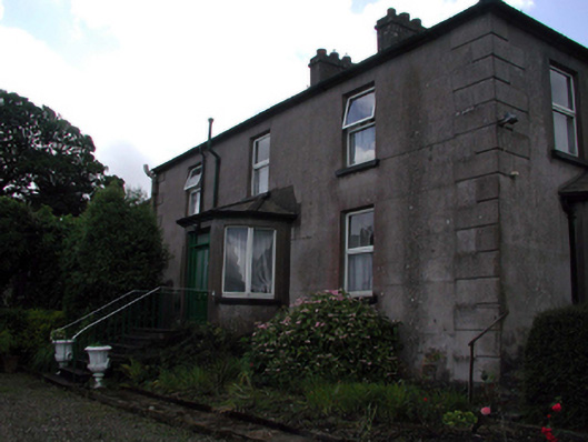 Rocklandshouse · 425 yd
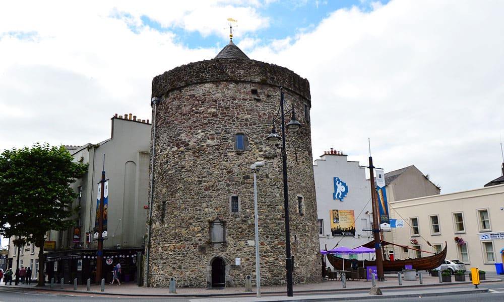 Semi-Lunar TowerCastle · 1.1 mi
 Structure in Gracedieu WestStructure · 1.1 mi
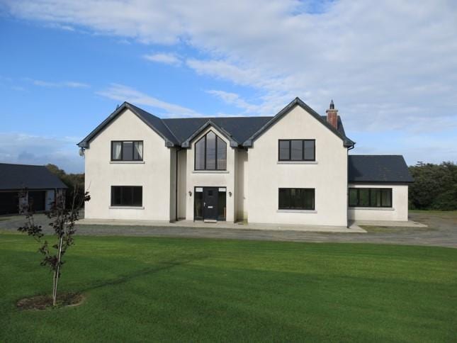 Habitation site in Knockhouse LowerHabitation site · 1.1 mi
 Granny CastleCastle, tower house · 1.4 mi
 Native Woodland Trust:Grace Dieu ReserveWood · 1.5 mi
 Native Irish Tree TrailWood · 2.0 mi
 Mount Congreve GardensHeritage attraction · 3.6 mi
 Sugar Loaf RockMountain / peak · 4.0 mi
 Waterford & Suir Valley RailwayHeritage attraction · 4.8 mi
 Ballyscanlon HillMountain / peak · 7.6 mi