What is recorded here
Garranabraher holds a tall thin stone in rough grazing, standing one metre and five centimetres above the grass with a square base no wider than a man’s outstretched hands. It has watched sheep move, storms pass and people forget why they first marked that spot. Perhaps it was a boundary, a memorial or a warning, but its shape still answers the sky like a finger pointing upward.
In rough grazing. Upright stone measuring 1.05m H; 0.25m x 0.25m. (Walsh 1985, 76, 120, no. 93)
The above description is derived from the published 'Archaeological Inventory of County Cork. Volume 2: East and South Cork' (Dublin: Stationery Office, 1994). In certain instances the entries have been revised and updated in the light of recent research.
Date of upload/revision: 14 January 2009
The monument record does not grant public access. Check the route and ask the landowner before entering private land.
- What survives
- Recorded monument
Places near here
 Meadow AvenueMemorial · 692 yd
 Templenakilleeny (in Ruins)Church · 709 yd
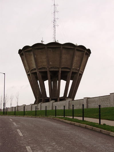 water towerwater tower · 785 yd
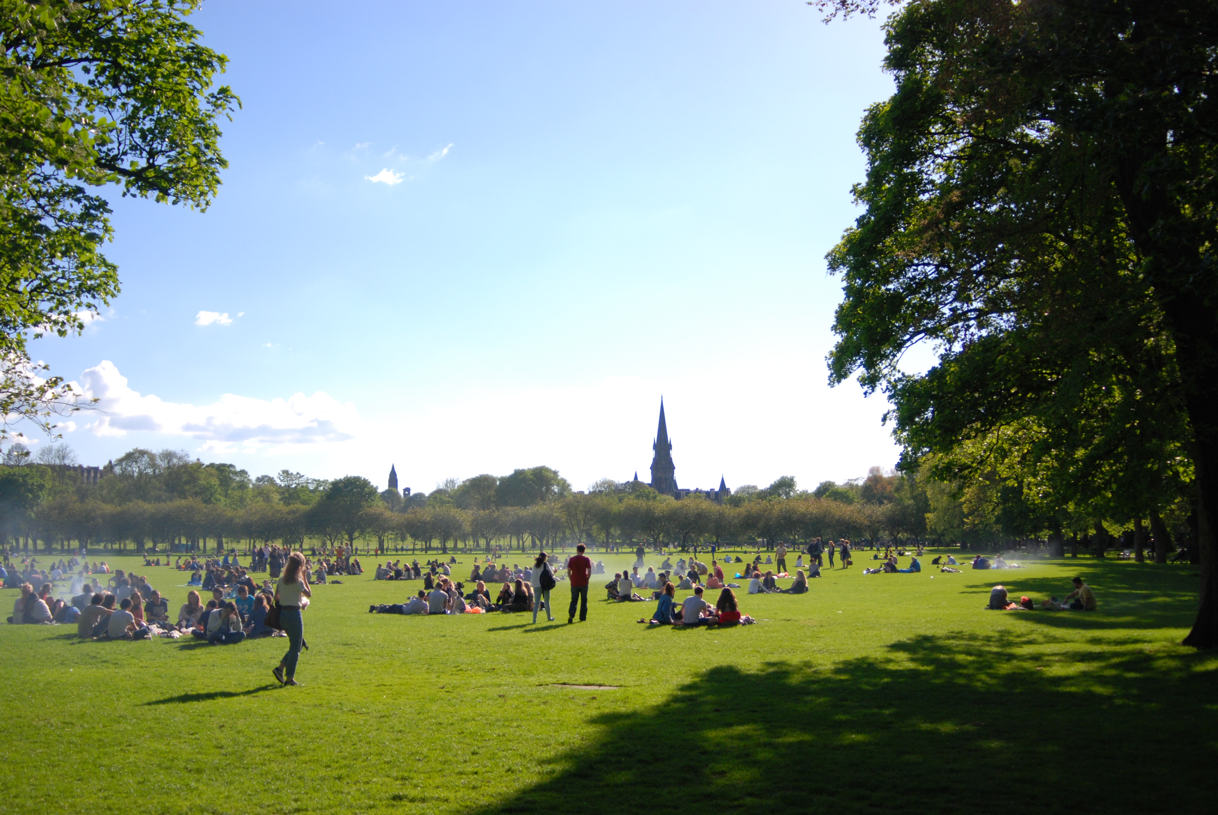 The MeadowsMemorial · 885 yd
 Church (Site of)Church · 1137 yd
 Church (Site of), Grave Yd (Disused)Graveyard · 1205 yd
 Cork WalksVisitor information · 2.1 mi
 Mashanaglass Castle (in Ruins)Castle, tower house · 17 mi
 Summerhouse WoodForest · 18 mi
 Seefin East TopMountain / peak · 19 mi
 Clonavrick CliffCliff · 19 mi
 Macroom WalksVisitor information · 19 mi