
What is recorded here
Mnemo knows the difference between a visible church and a missing one. She follows the difference, checks the facts and returns the smallest complete piece she can find.
Depicted as hachured circle (diam. c. 15m) on 1842 OS 6-inch map and named 'Grave Yard' and '(site of) church'; both marked 'site of' on later eds of OS 6-inch map. Site is now part of field in N suburbs of Cork city; appers to have been levelled recently as has adjacent playing field; no visible surface trace of either church or graveyard. Possibly site of St. Catherine's parish church (O'Donoghue 1986, 215-6), though this often located near North Gate Bridge (Bradley et. al. 1985, 67).
The above description is derived from the published 'Archaeological Inventory of County Cork. Volume 2: East and South Cork' (Dublin: Stationery Office, 1994). In certain instances the entries have been revised and updated in the light of recent research.
Date of upload/revision: 14 January 2009
The monument record does not grant public access. Check the route and ask the landowner before entering private land.
- What survives
- Recorded monument
Places near here
 Church (Site of), Grave Yd (Disused)Graveyard · 69 yd
 Church of the Resurrectionchurch/chapel · 793 yd
 Meadow AvenueMemorial · 822 yd
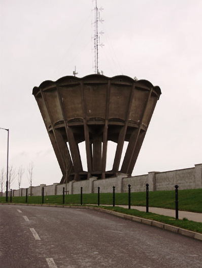 water towerwater tower · 826 yd
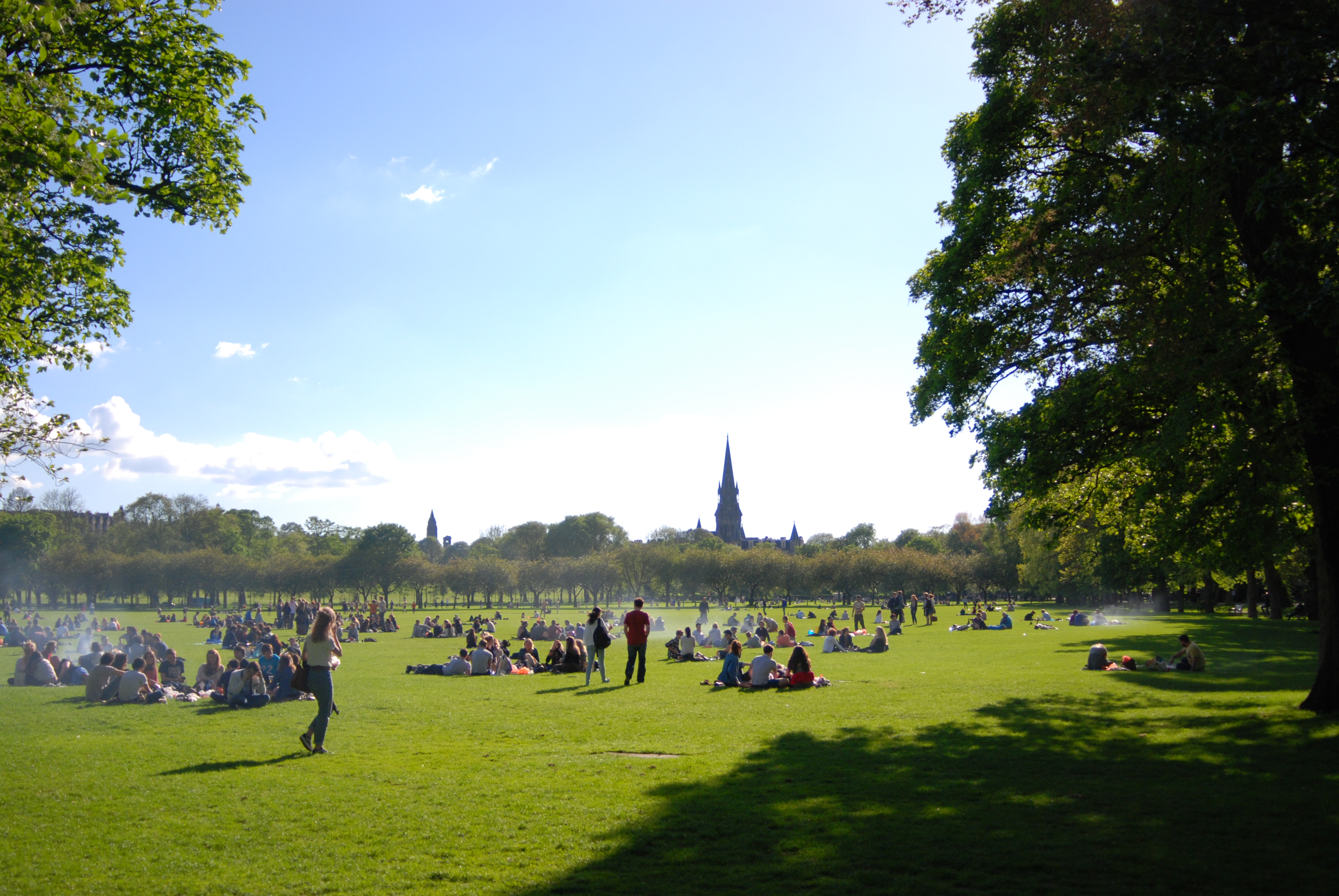 The MeadowsMemorial · 893 yd
 Ladys WellHoly well · 1.1 mi
 Cork WalksVisitor information · 1.4 mi
 Mashanaglass Castle (in Ruins)Castle, tower house · 18 mi
 Summerhouse WoodForest · 19 mi
 Seefin East TopMountain / peak · 19 mi
 Clonavrick CliffCliff · 20 mi
 Macroom WalksVisitor information · 20 mi
Other information
Photo: Credit not shown in the picture search · Rights wording not checked; contact us if this picture should be removed