
What is recorded here
From the National Monuments Service (Archaeological Survey of Ireland) record CO016-236
Places near here
Photo credits
- Maker not stated on source page, www.orkneyology.com
- Maker not stated on source page, www.booking.com
- Maker not stated on source page, www.bigissue.com
- National Inventory of Architectural Heritage
- Maker not stated on source page, www.pinterest.com
- Kmcnamee, Wikimedia Commons · CC BY-SA 4.0
- Maker not stated on source page, www.tripadvisor.ca
- Maker not stated on source page, www.joinmychurch.com
- Maker not stated on source page, heritagecalling.com
- Maker not stated on source page, www.flickr.com
- Maker not stated on source page, en.wikipedia.org
- John Tarrant / The Echo, www.echolive.ie
 Standing stone in Coolbane (duhallow By., Knocktemple Par.)Standing stone · 1296 yd
Explorer Tom Standing stone in Coolbane was recorded by Bowman back in 1934, but folks say this dallan vanished many years ago. Its…
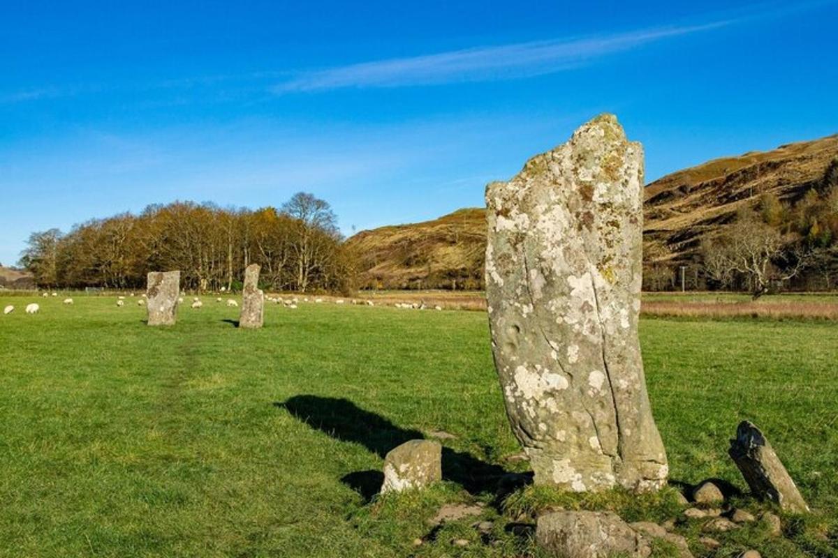 Standing stone in Knockbarry (orrery and Kilmore By., Liscarroll Par.)Standing stone · 1428 yd
Explorer Tom Standing stone in Knockbarry is a tiny rectangular guy standing straight up in level pasture. It’s not very tall, but…
 Enclosure in Knockbarry (orrery and Kilmore By., Liscarroll Par.)Enclosure · 1564 yd
Explorer Tom Enclosure at Highfort House is a semicircle. Three mature beech trees grow on the bank! The rest is just a low scarp…
 Lackeel HouseHouse · 1.1 mi
Explorer Tom Lackeel House is an early nineteenth-century beauty in Ballygrady, sporting ridge tiles and limestone sills that look…
 Church in CurraghsChurch · 1.3 mi
Explorer Tom Church in Curraghs is a low mound that used to be Patrick's church inside a ringfort that’s been levelled. It’s…
 Liscarroll GAA pitchGAA ground · 1.5 mi
 Church in KnockballymartinChurch · 1.9 mi
Explorer Tom Church in Knockballymartin is just a field now because the church got lost in translation somewhere around 1934. No…
 Church in Kilberrihert (duhallow By.)Church · 2.0 mi
Explorer Tom Church in Kilberrihert is inside a ringfort and has no visible trace, just local rumors calling it 'The Cill'. The…
 Kilbrin GAA pitchGAA ground · 2.3 mi
 Standing stone in CoolmahaneStanding stone · 2.5 mi
Explorer Tom Standing stone in Coolmahane was recorded by Bowman on P. Dennehy’s land back in 1934, measuring just over a foot high.…
 Castle (Site of)Castle, unclassified · 5.3 mi
Explorer Tom Castle in Curragh is in a rivalry with its more famous namesake across the county, standing on the Allow River bank…
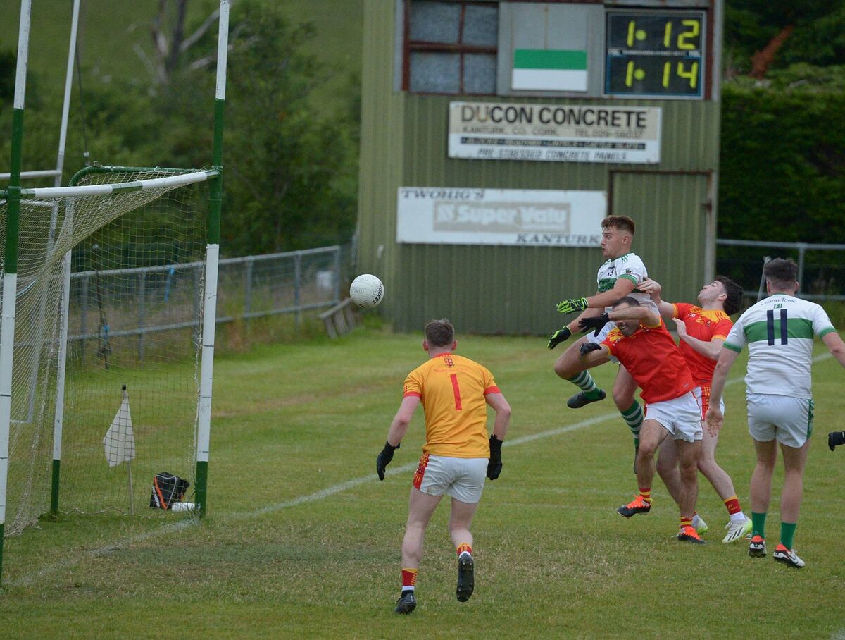 Kanturk GAA pitchGAA ground · 5.4 mi
More archaeology and monuments in County Cork · All of County Cork

What do you know about this place?Tap to add a comment or ask a question