What is recorded here
Standing stone in Farrantooleen rose seven feet above a level field at the foot of a low hill, watching Brandon Bay to the north. It marked the edge of human memory in County Kerry, steady enough to appear on both editions of the OS map. Then it fell and disappeared, leaving only the field and the bay behind.
This standing stone, marked on both editions of the OS map, was situated in a level field at the foot of a low hill, overlooking Brandon Bay to N. It stood about 7 feet (2.1m) tall, but fell c. 12 years ago and was subsequently removed (local information).
The above description is derived from J. Cuppage, ‘Corca Dhuibhne. Dingle Peninsula archaeological survey. Ballyferriter. Oidhreacht Chorca Dhuibhne’ (1986), no. 150. In certain instances the entries have been revised and updated in the light of recent research.
Date of upload: 4 August 2013
Likely dating to the Neolithic or Bronze Age, this standing stone may have had ceremonial or territorial significance, possibly linked to early farming communities or local sea-oriented rituals given its view of Brandon Bay. Its alignment or grouping with other monuments is not recorded, but such stones often feature in folklore as markers of ancient passage or supernatural activity.
The monument record does not grant public access. Check the route and ask the landowner before entering private land.
- What survives
- Recorded monument
Places near here
 TobermurryHoly well · 420 yd
 Man-made underground passage in BarrackMan-made underground passage · 504 yd
 Stradbally Church (in ruins)Church · 866 yd
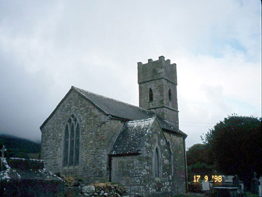 Saint Brendan's Church (Killiney)church/chapel · 1520 yd
 IndicatedCastle, tower house · 1528 yd
 Site of CastleCastle, unclassified · 1.8 mi
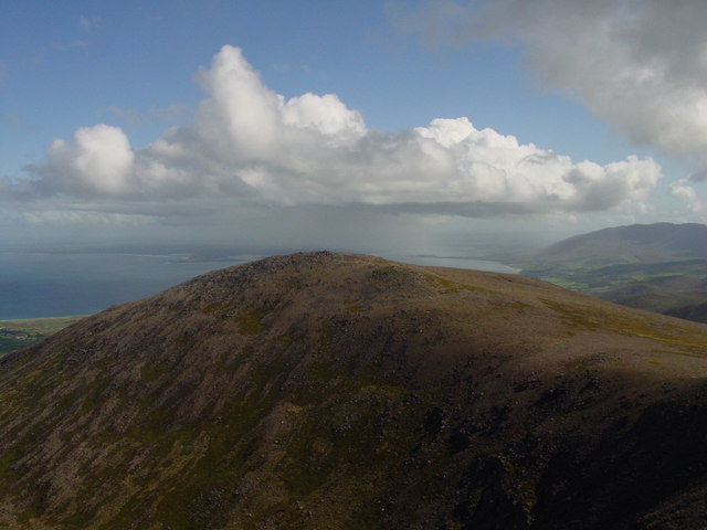 Stradbally MountainMountain / peak · 2.0 mi
 Binn os GaoithMountain / peak · 2.3 mi
 Fermoyle BeachBeach / strand · 2.3 mi
 Hillville WoodWood · 2.5 mi
 Glanteenassig Forest ParkForest · 2.9 mi
 Sandy Bay BeachBeach / strand · 2.9 mi