What is recorded here
Mnemo and the benchmark use the same distinction. There is a narrow stone, still visible in human memory, leaning on a SE-facing slope in Errigal. It has two small holes, one near the top and one on the crest, and it may have marked a gate or boundary before disappearing from that place. The story is not that the stone is gone; the story is that a living place kept its shape long enough to be remembered.
Situated on a SE-facing slope in 1990 (SMR file). This is a narrow stone (dims of base 0.43m x c. 0.1m; H 1.83m) aligned NW-SE and leaning severely to one side. There is a small hole (diam. 3.5cm) penetrating the stone 0.35m from the top and another hole (diam. 3cm) on its crest. The stone may have served as a gatepost at one time, and it had been removed by 2000 (OSAP).
Compiled by: Michael Moore
Date of upload; 5 October 2020
The monument record does not grant public access. Check the route and ask the landowner before entering private land.
- What survives
- Recorded monument
Places near here
 IndicatedFairy fort / earthen ringfort · 289 yd
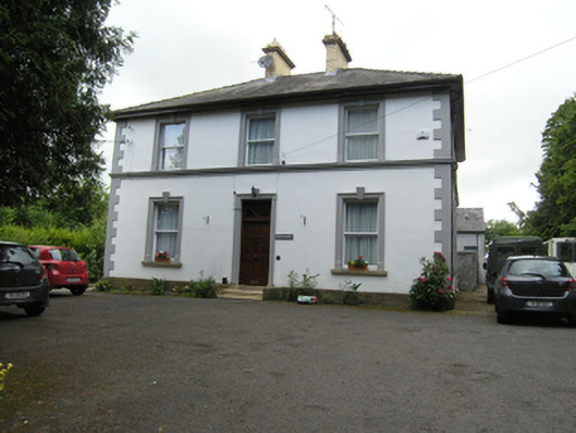 Montfort ManseOfficially recorded historic building · 422 yd
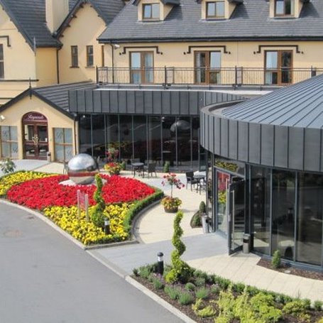 Errigal RingfortArchaeological place · 440 yd
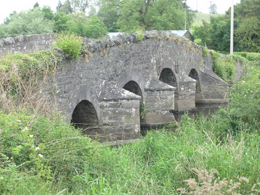 Lawson's Ford Bridgebridge · 590 yd
 CastleCastle, unclassified · 753 yd
 Claragh WoodForest · 1574 yd
 Cordoagh Glebe Upper ForestForest · 1.0 mi
 Brown's HillMountain / peak · 1.3 mi
 Dromore HillMountain / peak · 1.7 mi
 Site of Old CastleCastle, unclassified · 2.1 mi
 Graveyard in Drumgoon (clankee By.)Graveyard · 2.7 mi
 Giant's GraveArchaeological place · 4.3 mi