What is recorded here
Marked only on the 1940 ed. of the OS 6-inch map where it is described in gothic lettering as a standing stone, it is situated just off the top of a slight SW facing slope and it is now within a cemetery. This is a granite stone with a subrectangular cross section at the base (dims. 0.75m x 0.06 0.46m) which is aligned ENE-WSW, although the top is twisted to align NNE-SSW, and the top and W side of the stone have been damaged. (max. H 1.43m). Archaeological monitoring (03E1956) c. 50m to SW failed to recover any related material (Purcell 2007). (Moore 1996, 13, no. 102).
Updated by: Michael Moore
Revised date of upload: 25 March, 2014
The monument record does not grant public access. Check the route and ask the landowner before entering private land.
- What survives
- Recorded monument
Places near here
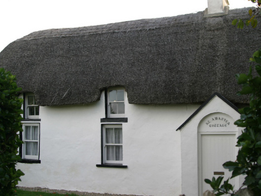 Saint Awaries Cottagefarm house · 167 yd
 Ladys WellHoly well · 210 yd
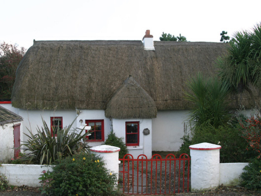 Ceann Tuífarm house · 372 yd
 Enclosure in BallareEnclosure · 417 yd
 TowerBawn · 633 yd
 Lady's IslandVisitor information · 640 yd
 ScargeenIsland · 999 yd
 Site of CastleCastle, unclassified · 1250 yd
 InishIsland · 1561 yd
 Shernock Hill/Knocks HillMountain / peak · 1.0 mi
 Carne BeachBeach / strand · 1.1 mi
 Lifeboat MemorialMemorial · 1.3 mi