What is recorded here
One narrow stone, broken now but once nearly two metres tall, still leans in flat Donegal land south of the Stracashel river. It is not a grand chamber or crowded ring; it is a single pale mark in ordinary ground, the kind of place where people may have passed, pointed, remembered or left small offerings. Its shape suggests purpose more than chance, yet purpose itself has thinned with time. What remains is a address without a name, waiting to be recognized.
A standing stone, now broken, but originally c. 1.73m in height. It is .35m × 0.07m in plan. The stone is located in good flat land to the S of the Stracashel river.
The above description was derived from the 'Archaeological Survey of County Donegal. A description of the field antiquities of the County from the Mesolithic Period to the 17th century.' Compiled by: Brian Lacey with Eamon Cody, Claire Cotter, Judy Cuppage, Noel Dunne, Vincent Hurley, Celie O'Rahilly, Paul Walsh and Seán Ó Nualláin (Lifford: Donegal County Council, 1983). In certain instances the entries have been revised and updated.
Date of upload: 22 September 2008
The monument record does not grant public access. Check the route and ask the landowner before entering private land.
- What survives
- Recorded monument
Places near here
 St. Conall’s Catholic Churchchurch/chapel · 156 yd
 Glenties Court Housecourt house · 193 yd
 St. Connell's Museum and Heritage CentreMuseum · 210 yd
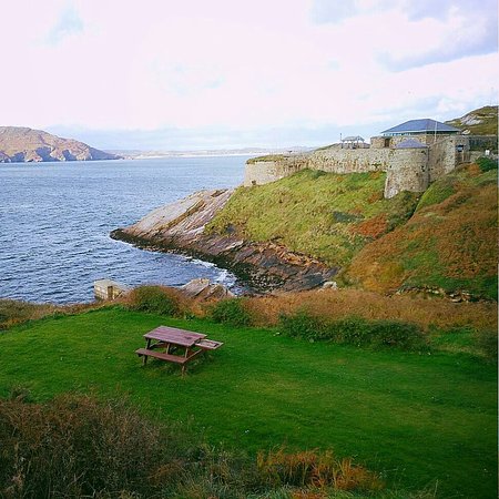 Drumnasillagh Inland Promontory FortPromontory fort, inland · 1219 yd
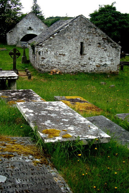 Inishkeel Graveyard near GlentiesGraveyard · 1618 yd
 Kilrean Upper Fairy FortFairy fort / earthen ringfort · 1.6 mi
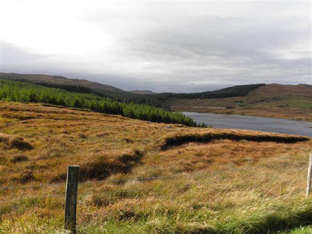 Derkmore Wood Nature ReserveNature reserve · 3.0 mi
 Wych ElmWych Elm · 3.3 mi
 Binn BhánMountain / peak · 4.6 mi
 Cloghmeen HillMountain / peak · 4.7 mi
 Dermot & Grania's BedCave · 4.7 mi
 Bonny Glen Wood - Bonny Glen walkOfficial walking route · 5.4 mi