What is recorded here
A standing stone, now broken, but originally c. 1.73m in height. It is .35m × 0.07m in plan. The stone is located in good flat land to the S of the Stracashel river.
The above description was derived from the 'Archaeological Survey of County Donegal. A description of the field antiquities of the County from the Mesolithic Period to the 17th century.' Compiled by: Brian Lacey with Eamon Cody, Claire Cotter, Judy Cuppage, Noel Dunne, Vincent Hurley, Celie O'Rahilly, Paul Walsh and Seán Ó Nualláin (Lifford: Donegal County Council, 1983). In certain instances the entries have been revised and updated.
Date of upload: 22 September 2008
The monument record does not grant public access. Check the route and ask the landowner before entering private land.
- What survives
- Recorded monument
Places near here
 St. Conall’s Catholic Churchchurch/chapel · 156 yd
 Glenties Court Housecourt house · 193 yd
 St. Connell's Museum and Heritage CentreMuseum · 210 yd
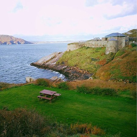 Drumnasillagh Inland Promontory FortPromontory fort, inland · 1219 yd
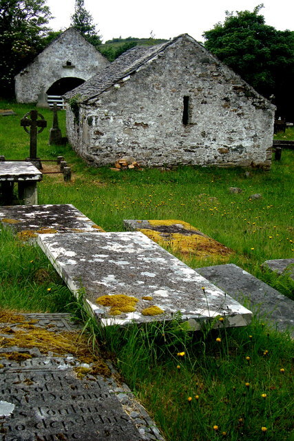 Inishkeel Graveyard near GlentiesGraveyard · 1618 yd
 Kilrean Upper Fairy FortFairy fort / earthen ringfort · 1.6 mi
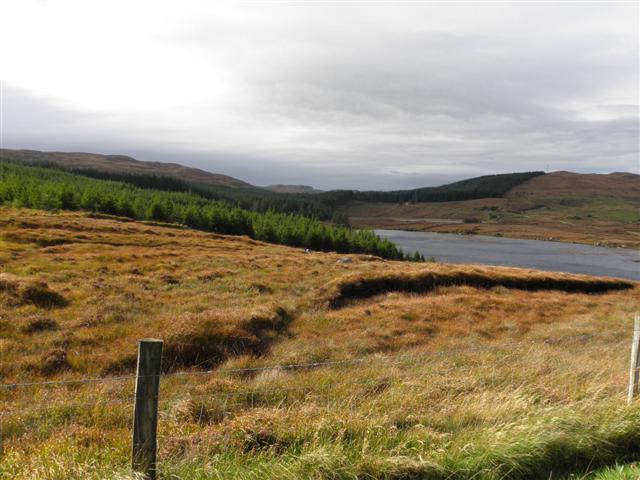 Derkmore Wood Nature ReserveNature reserve · 3.0 mi
 Wych ElmWych Elm · 3.3 mi
 Binn BhánMountain / peak · 4.6 mi
 Cloghmeen HillMountain / peak · 4.7 mi
 Dermot & Grania's BedCave · 4.7 mi
 Bonny Glen Wood - Bonny Glen walkOfficial walking route · 5.4 mi