
What is recorded here
From the Northern Ireland Sites and Monuments Record record DOW010:037
Places near here
Photo credits
- Maker not stated on source page, en.wikipedia.org
- Maker not stated on source page, www.thearchaeologist.org
- Maker not stated on source page, commons.wikimedia.org
- Maker not stated on source page, www.dreamstime.com
- Maker not stated on source page, www.pinterest.com
- Albert Bridge, Wikimedia Commons · CC BY-SA 2.0
- Eric Jones, Wikimedia Commons · CC BY-SA 2.0
- User:SeamusSweeney, Wikimedia Commons · CC BY-SA 3.0
- Albert Bridge, Geograph · CC BY-SA 2.0
 Chambered tomb: ballygraffan dolmen in BallygraffanChambered Tomb: Ballygraffan Dolmen · 1203 yd
Explorer Tom The ghost haunting Ballygraffan dolmen is too lazy to do anything but nap inside the stone for centuries. He’s not even…
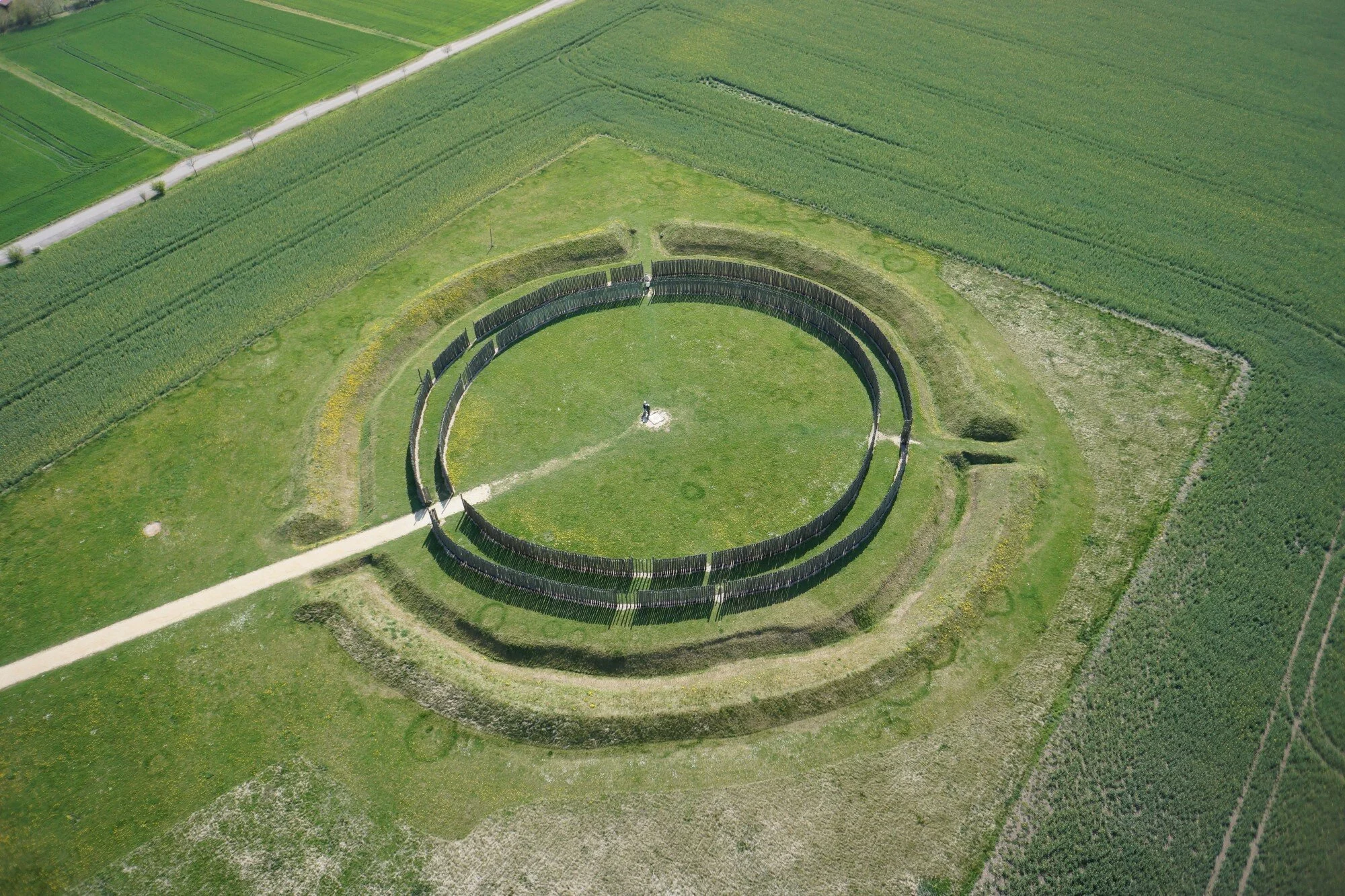 Ap Cropmark- Possible large circular enclosure in MagherascouseAp Cropmark- Possible large circular enclosure · 1250 yd
Explorer Tom Ap Cropmark- Possible large circular enclosure in Magherascouse is basically a ghost with a bad haircut. The record…
 Megalithic tomb in BallygraffanMegalithic Tomb · 1349 yd
Explorer Tom Megalithic tomb in Ballygraffan is prehistoric, meaning it has had centuries to perfect its technique for ignoring…
 Enclosure in CarnasureEnclosure · 1606 yd
Explorer Tom Enclosure in Carnasure is having a serious drama with the nearest tree, which keeps dropping leaves on its head like…
 Linear Stone Feature in CattogsLinear Stone Feature · 1.1 mi
Explorer Tom Linear Stone Feature in Cattogs is a shortcut that definitely isn’t a shortcut, because it just goes straight into a…
 Mesolithic occupation site in Castle EspieMesolithic Occupation Site · 1.5 mi
Explorer Tom Mesolithic occupation site in Castle Espie is where people lived before they had proper houses, basically camping…
 Cist burials (unlocated) in CherryvalleyCist burials (unlocated) · 1.6 mi
Explorer Tom Cist burials in Cherryvalley are unlocated, which means they’re playing hard to get from the archaeologists. They…
 Andrews Memorial HallSchool · 1.6 mi
Explorer Tom Andrews Memorial Hall in Comber is officially a school now, but I bet it still echoes with the sound of children…
 First Comber Presbyterian ChurchChurch · 1.7 mi
Explorer Tom First Comber Presbyterian Church has been standing since the 1740s, which is basically forever if you ask me. It’s got…
 Mapped cemeteryCemetery · 1.8 mi
Explorer Tom A local poet once wrote a terrible verse about this mapped cemetery in County Down that made everyone weep with…
 Castle Espie Wetland CentreNature reserve · 1.9 mi
Explorer Tom Castle Espie puts Strangford Lough's birdlife close enough to make your binoculars feel like a backstage pass: follow…
 Rough IslandIslet · 2.4 mi
Explorer Tom Rough Island’s family tree is mostly made up, with generations of ancestors who were definitely real but also…
More archaeology and monuments in County Down · All of County Down

What do you know about this place?Tap to add a comment or ask a question