What is recorded here
Situated in a little W-E valley with a small canalised NW-SE stream turning E c. 40m to the S. This is a large granite stone (dims of base 0.9m x 0.9m) that widens (dims 1.6m NW-SE; 1.2m NE-SW) c. 1-2m over the ground before coming to a blunt point (H 2.6m). It is roughly oriented NW-SE. Archaeological testing (06E1072) by C. Cotter c. 15m to the SW at the closest point produced no related material (excavations.ie 2006:1550).
The above description is derived from the published 'Archaeological Inventory of County Meath' (Dublin: Stationery Office, 1987). In certain instances the entries have been revised and updated in the light of recent research.
Compiled by: Michael Moore
Date of revision: 22 October 2018
Amended: 25 February 2021
Probably dating to the Neolithic or Early Bronze Age, this standing stone may have had ritual or territorial significance, possibly aligned with local water features or seasonal markers. No specific folklore is recorded for the site.
The monument record does not grant public access. Check the route and ask the landowner before entering private land.
- What survives
- Recorded monument
Places near here
 MoatCastle, motte and bailey · 857 yd
 Drumran HillMountain / peak · 1443 yd
 Hillfort in Kilriffin,sallybrookHillfort · 1464 yd
 Newstone Castle in RuinsCastle, tower house · 1633 yd
 Cloghmacoo FortFairy fort / earthen ringfort · 1739 yd
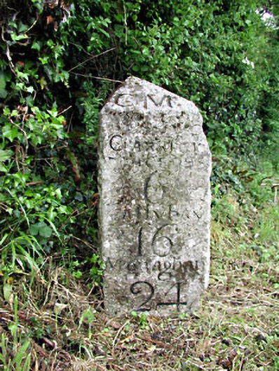 milestone/milepostmilestone/milepost · 1.4 mi
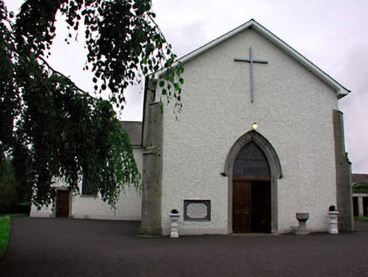 Catholic Church of Saint Peter and Saint Paulchurch/chapel · 1.4 mi
 Matthew's HillMountain / peak · 2.2 mi
 Tree IslandWood · 3.2 mi
 Nobber GreenwayMemorial · 3.5 mi
 Common LimeCommon Lime · 4.1 mi
 Flat cemetery in AnnaheanFlat cemetery · 4.6 mi