What is recorded here
One of four stones (CO073-017----; CO073-019----; CO073-020----) referred to by Hartnett (1939, 154) in this townland. Central stone (H 45ins) of 'extended line' of three stones 'running NE for about 320 yards'. Removed. No visible surface trace.
The above description is derived from the published 'Archaeological Inventory of County Cork. Volume 3: Mid Cork' (Dublin: Stationery Office, 1997). In certain instances the entries have been revised and updated in the light of recent research.
Date of upload/revision: 14 January 2009
Probably dating to the Late Neolithic or Bronze Age, the stone may have been part of a ritual or territorial alignment. Its removal disrupts understanding of its original use, though such lines may have had ceremonial, astronomical, or boundary-related functions.
The monument record does not grant public access. Check the route and ask the landowner before entering private land.
- What survives
- Recorded monument
Places near here
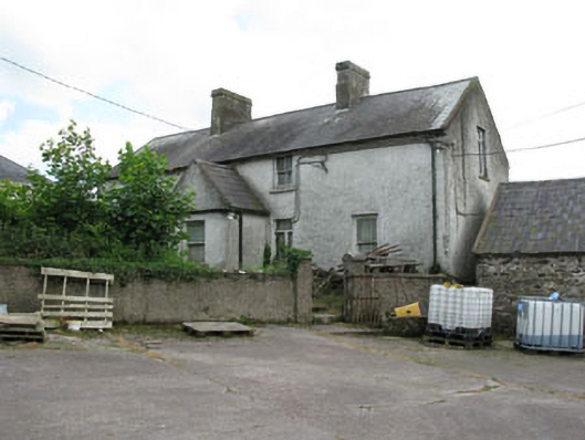 farm housefarm house · 547 yd
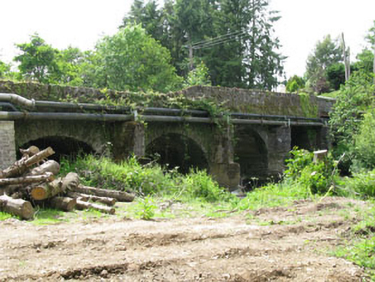 Tower Bridgebridge · 907 yd
 Blarney lake bird nest islandIslet · 1645 yd
 Holy well in BallycannonHoly well · 1.0 mi
 Blarney LakeVisitor information · 1.0 mi
 Turner's Rock WoodWood · 1.1 mi
 Lion RockNamed rock · 1.1 mi
 Site of Grave YardBurial ground · 1.2 mi
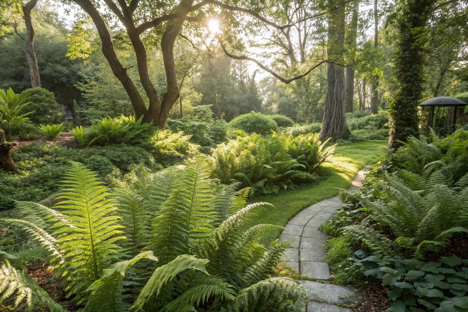 Fern GardenHeritage attraction · 1.2 mi
 Fox's Rock WoodWood · 1.2 mi
 Badgers CaveCave · 1.4 mi
 Stone of EloquenceHeritage attraction · 1.4 mi