What is recorded here
Dromasmole once held four standing stones, but the northern one disappeared around 1976 and left no visible trace. Hartnett recorded the group in 1939, preserving a shape that human hands or hunger later erased. The stone may have marked a boundary, a memory or a bargain with the land, yet even that much has faded. What remains is a hole in the story, not a hole in the ground.
One of four stones (CO073-017----; CO073-018----; CO073-019----) referred to by Hartnett (1939, 154) in this townland. This (H 36in) stood to N of 3 other stones. Removed c. 1976. No visible surface trace.
The above description is derived from the published 'Archaeological Inventory of County Cork. Volume 3: Mid Cork' (Dublin: Stationery Office, 1997). In certain instances the entries have been revised and updated in the light of recent research.
Date of upload/revision: 14 January 2009
The monument record does not grant public access. Check the route and ask the landowner before entering private land.
- What survives
- Recorded monument
Places near here
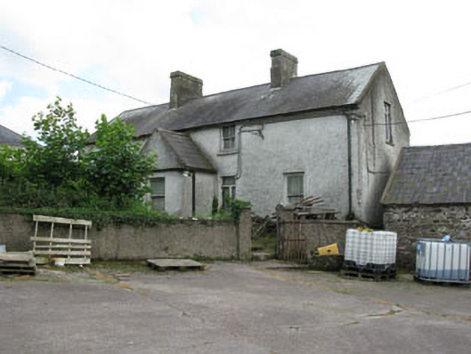 farm housefarm house · 396 yd
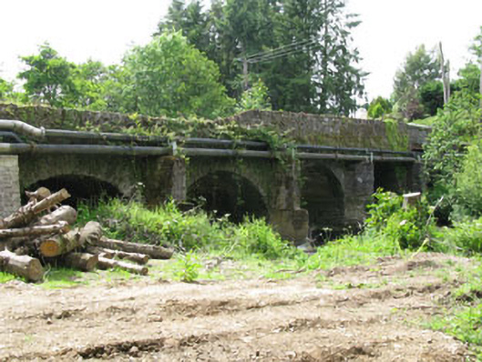 Tower Bridgebridge · 807 yd
 Blarney lake bird nest islandIslet · 1571 yd
 Blarney LakeVisitor information · 1731 yd
 Turner's Rock WoodWood · 1.0 mi
 Holy well in BallycannonHoly well · 1.0 mi
 Lion RockNamed rock · 1.1 mi
 Site of Grave YardBurial ground · 1.1 mi
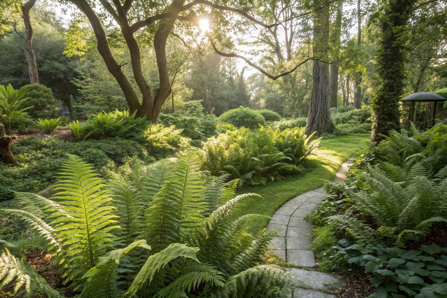 Fern GardenHeritage attraction · 1.1 mi
 Fox's Rock WoodWood · 1.2 mi
 Badgers CaveCave · 1.3 mi
 Stone of EloquenceHeritage attraction · 1.3 mi