What is recorded here
One of four stones (CO073-018----; CO073-019----; CO073-020----) mentioned by Hartnett (1939, 154) in this townland. He recorded this (H 42ins) as the most south-westerly of 'an extended line' of three stones (CO073-018----; CO073-019----) 'running NE for about 320 yards. They are fairly regular in section and evenly spaced in the line'. Removed. Area presently in use as golf course.
The above description is derived from the published 'Archaeological Inventory of County Cork. Volume 3: Mid Cork' (Dublin: Stationery Office, 1997). In certain instances the entries have been revised and updated in the light of recent research.
Date of upload/revision: 14 January 2009
The monument record does not grant public access. Check the route and ask the landowner before entering private land.
- What survives
- Recorded monument
Places near here
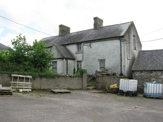 farm housefarm house · 592 yd
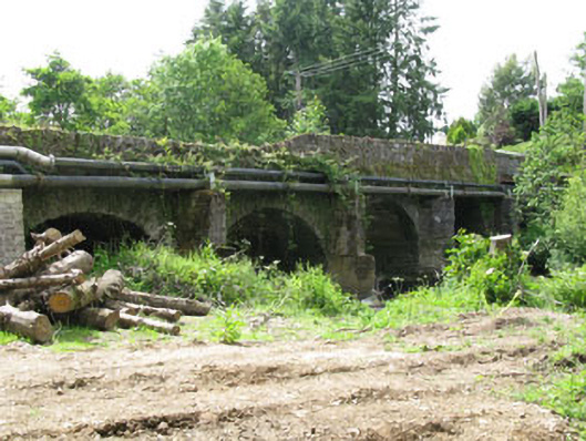 Tower Bridgebridge · 878 yd
 Blarney lake bird nest islandIslet · 1.0 mi
 Holy well in BallycannonHoly well · 1.1 mi
 Blarney LakeVisitor information · 1.1 mi
 Site of Grave YardBurial ground · 1.2 mi
 Turner's Rock WoodWood · 1.2 mi
 Lion RockNamed rock · 1.2 mi
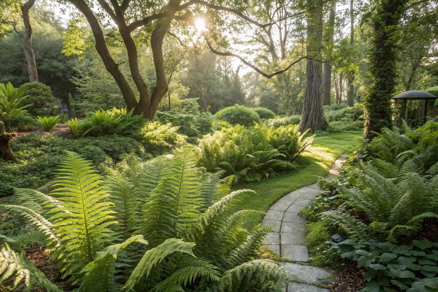 Fern GardenHeritage attraction · 1.2 mi
 Fox's Rock WoodWood · 1.3 mi
 Badgers CaveCave · 1.4 mi
 Castle (in Ruins)Castle, tower house · 1.4 mi