What is recorded here
In rough, heather-clad hill pasture, on a SE-facing slope, overlooking the valley of the Clydagh River. This standing stone (dims. 1.07m x 0.48m; H 1.5m) is subrectangular in plan and orientated E-W. There are packing-stones exposed at its base. A hut site (KE076-040003-) is c. 25m to the NW.
Compiled by: Elizabeth Byrne, Ursula Egan and Sheila Ronan, Archaeological Survey Unit, University College, Cork.
Date of upload: 31 January 2011
Likely dating to the Neolithic or Bronze Age, this standing stone may have functioned as a boundary marker, ritual monument, or astronomical alignment feature. No specific folklore or detailed local tradition is recorded for the site.
The monument record does not grant public access. Check the route and ask the landowner before entering private land.
- What survives
- Recorded monument
Places near here
 Field boundary in DerrynafinniaField boundary · 215 yd
 The Paps EastMountain / peak · 819 yd
 SheepfoldEnclosure · 1222 yd
 The Paps WestMountain / peak · 1622 yd
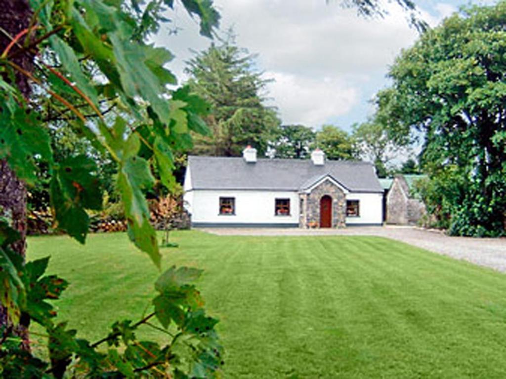 Clydagh LodgeCountry house · 1.0 mi
 KilnKiln, lime · 1.1 mi
 BarraduffMemorial · 4.7 mi
 Killaha Castle (in Ruins)Castle, tower house · 5.7 mi
 Cascade WoodWood · 5.8 mi
 Castle (Site of)Castle, unclassified · 5.9 mi
 Nohaval WoodWood · 6.3 mi
 Sli Gaeltacht MuscraiWalking route · 7.5 mi