What is recorded here
That is the only fact available. The claim that it stands is wrong because measurement recorded a prostrate stone. Keep the visible fact and reject the invented title.
In pasture on S-facing slope 4m to N of burial ground (CO115-026001-); prostrate stone (L 2.3m; 1.2m x 0.34m).
The above description is derived from the published 'Archaeological Inventory of County Cork. Volume 1: West Cork' (Dublin: Stationery Office, 1992). In certain instances the entries have been revised and updated in the light of recent research.
Date of upload/revision: 14 January 2009
The monument record does not grant public access. Check the route and ask the landowner before entering private land.
- What survives
- Recorded monument
Places near here
 Megalithic structure in Derrymihin WestMegalithic structure · 1 yd
 IndicatedChurch · 253 yd
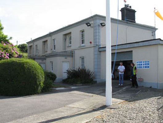 The Lighthouse Dwellingslighthouse keeper's house · 518 yd
 Minane IslandIslet · 671 yd
 Dinish IslandIslet · 1140 yd
 Timothy C. HarringtonMonument · 1180 yd
 Berehaven Battalion MemorialMemorial · 1619 yd
 Sarah Walker GalleryGallery · 1.0 mi
 Burial ground in DerrycreeveenBurial ground · 1.3 mi
 Eagle HillMountain / peak · 1.7 mi
 Ardnakinna West Island LoopWalking route · 1.8 mi
 KnockanalligMountain / peak · 2.1 mi