
What is recorded here
In pasture on an E-facing slope. Noted in 1919 by Boyle Somerville (UCC) as "...a stone triad...in the process of being cracked for road metal". No visible surface trace.
The above description is derived from the published 'Archaeological Inventory of County Cork. Volume 1: West Cork' (Dublin: Stationery Office, 1992). In certain instances the entries have been revised and updated in the light of recent research.
Date of upload/revision: 14 January 2009
The monument record does not grant public access. Check the route and ask the landowner before entering private land.
- What survives
- Recorded monument
Places near here
 IndicatedChurch · 253 yd
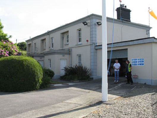 The Lighthouse Dwellingslighthouse keeper's house · 518 yd
 Minane IslandIslet · 671 yd
 Dinish IslandIslet · 1140 yd
 Timothy C. HarringtonMonument · 1180 yd
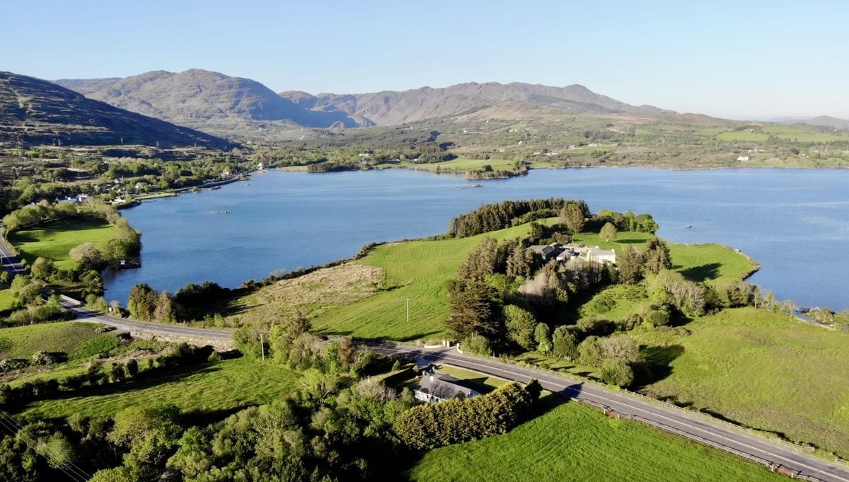 Burial Gd (Disused)Burial ground · 1241 yd
 Berehaven Battalion MemorialMemorial · 1619 yd
 Sarah Walker GalleryGallery · 1.0 mi
 Burial ground in DerrycreeveenBurial ground · 1.3 mi
 Eagle HillMountain / peak · 1.7 mi
 Ardnakinna West Island LoopWalking route · 1.8 mi
 KnockanalligMountain / peak · 2.1 mi
Other information
Photo: Credit not shown in the picture search · Rights wording not checked; contact us if this picture should be removed